 Click here to view screen-resolution image - 45K
Click here to view screen-resolution image - 45K
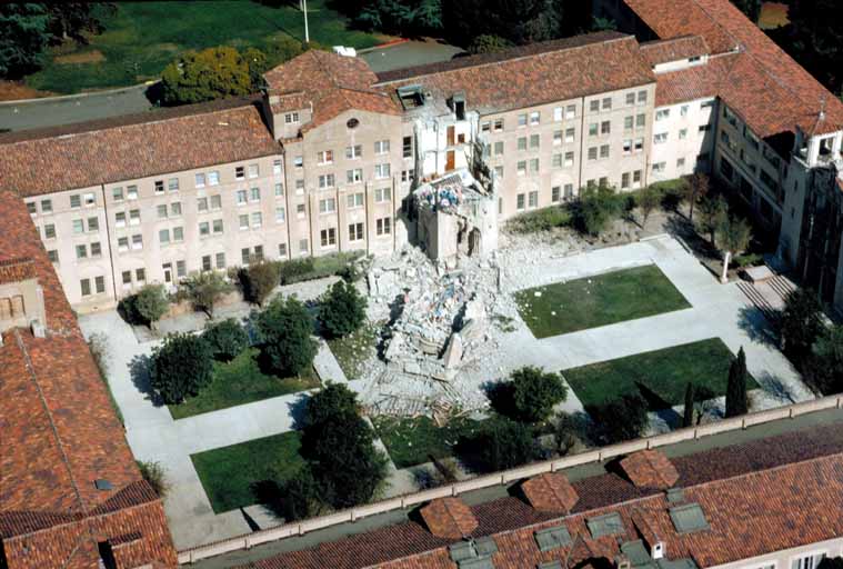
Click here to view screen-resolution image - 45K42. Aerial view of collapsed five-story tower, St. Josephës Seminary. One person working in tower was killed. [H.G. Wilshire, U.S. Geological Survey]
 Click here to view screen-resolution image - 45K
43. Aerial view of collapsed five-story tower, St. Josephës Seminary. [H.G. Wilshire, U.S. Geological Survey]
 Click here to view screen-resolution image - 45K
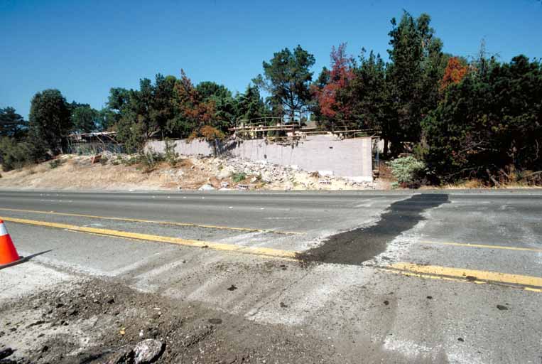
44. Nontectonic surface rupture across Highway 280 at the interface of a roadcut and fill area 2.5 km (1.5 mi) north of Foothill Expressway. [J.K. Nakata, U.S. Geological Survey]
 Click here to view screen-resolution image - 45K
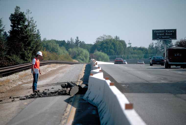
45. The cement retaining walls along Highway 280 deformed in accordion-like pattern as a result of lateral compression. [J.K. Nakata, U.S. Geological Survey]