Data Series 903
| AbstractIn 2010, scientists from the U.S. Geological Survey St. Petersburg Coastal and Marine Science Center collected sediment cores from coastal waters offshore of the Mississippi barrier islands. With funding support from the Northern Gulf of Mexico (NGOM) Ecosystem Change and Hazard Susceptibility project, 65 subaqueous sediment cores were collected over an area of 480 square kilometers (km2), from Ship Island to Petit Bois Island Pass, Mississippi, within the boundary of Gulf Islands National Seashore. This represents only a fraction of the total area encompassed by the NGOM project, which extends from Sabine Lake, Louisiana, to Perdido Bay, Alabama. The primary objectives of the NGOM project are to understand the evolution of coastal ecosystems on the northern gulf coast, the impact of human activities on these ecosystems, and the vulnerability of ecosystems and human communities to more frequent and intense hurricanes in the future. Selection of the core site locations was based on geophysical surveys conducted around the islands from 2008 to 2010. The surveys, using acoustic systems to image and interpret the nearsurface stratigraphy, were conducted to investigate the geologic controls on island evolution. This data series serves as an archive of sediment data collected from August to September 2010, offshore of the Mississippi barrier islands. Data products, including descriptive core logs, core photographs, results of sediment grain-size analyses, sample location maps, and geographic information system (GIS) data files with accompanying formal Federal Geographic Data Committee (FDGC) metadata can be downloaded from the data products and downloads page. 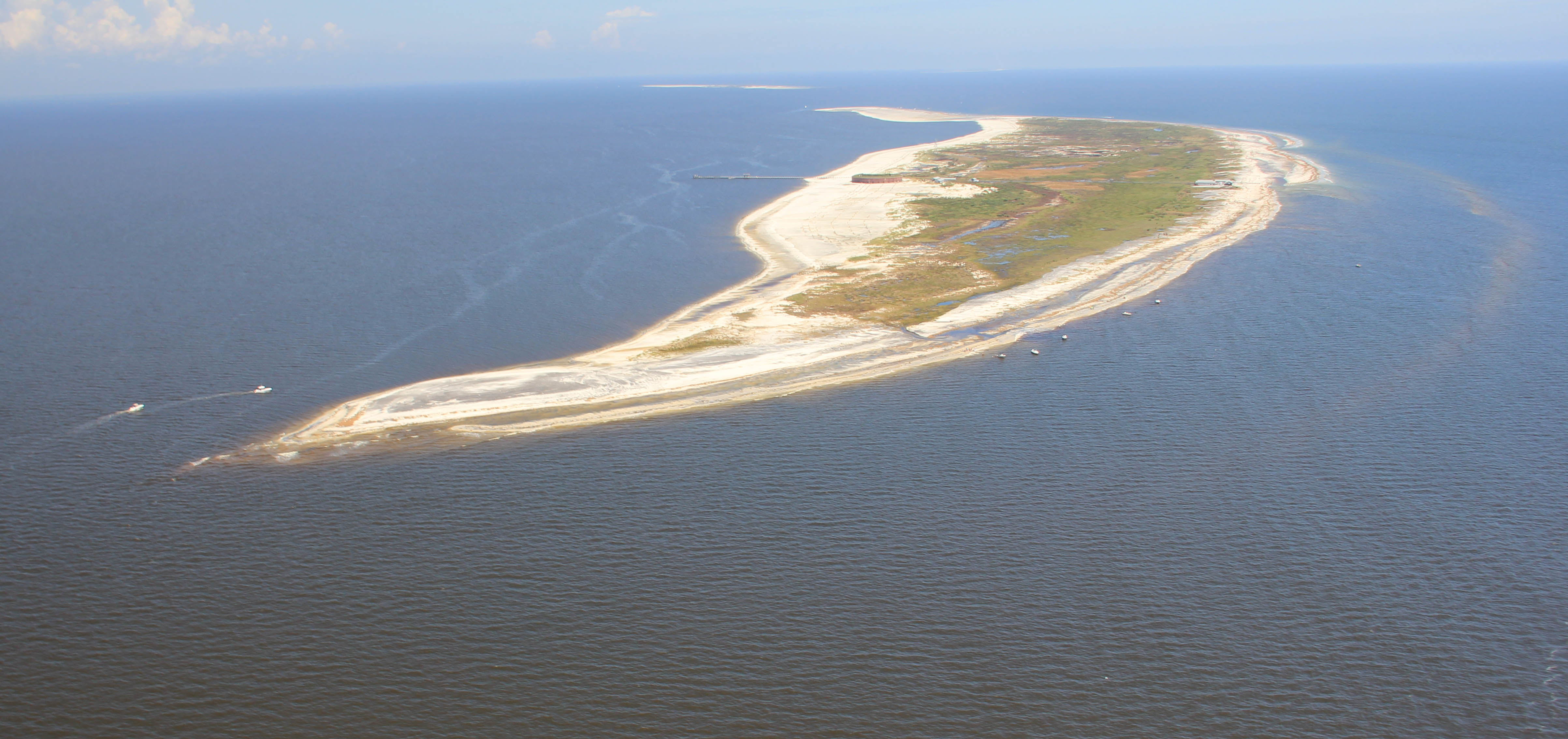 Oblique aerial photograph looking north along West Ship Island. In the distance you can see Camille Cut and East Ship Island, September 2, 2012. Photograph by Karen Westphal (Contracted by the USGS, Baton Rouge, LA). [Click to enlarge] |

![]() U.S. Department of the Interior |
U.S. Geological Survey
U.S. Department of the Interior |
U.S. Geological Survey
URL: http://pubsdata.usgs.gov/pubs/ds/0903/html/ds903_abstract.html
Page Contact Information: GS Pubs Web Contact
Page Last Modified: Monday, 28-Nov-2016 20:32:21 EST
