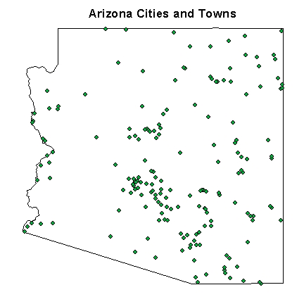
USGS Logo


Repository for Arizona Reference Maps


To download a map data layer click on the map data layer name. To view the map before downloading click on the link under the view map column. All data layers are compressed shapefiles and require decompression to be viewed and used.


Arizona Reference Maps

Coverage Name

Description

Map Preview
Coordinate System
File Size
azgeology
Geologic map of Arizona (1:1,000,000)
Geologic Map
G
1.7 Mb
500geo
Geologic Map of Arizona (1:500,000), including faults and hinge lines
Geologic Map
UTM
10.2 Mb
azfaults
Faults in Arizona (1:1,000,000)
Faults
G
0.1 Mb
az500fault
Faults in Arizona (1:500,000)
Faults
UTM
0.3 Mb
az500fold
Fold hinges in Arizona (1:500,000)
Fold Hinges
UTM
39 Kb
az500m
500m contour map of Arizona
500m
G
10.4 Mb
az100m
100m contour map of Arizona
100m
G
53.0 Mb
azfed
Distribution of federal Land in Arizona
Federal Land
G
0.4 Mb
azland
Distiribution of public land in Arizona
Public Land
G
1.6 Mb
azrivers
Major rivers in Arizona
Rivers
G
10 Kb
azstreams1&2
Main stem of each drainage basin
Streams 1&2
G
1.1 Mb
azstreams3
All reach File 1 streams
Streams 3
G
1.8 Mb
azstreams4
All reach File 2 streams and streams with names
Streams 4
G
2.0 Mb
azstreams5
All of the remaining streams
Streams 5
G
15.0 Mb
azcounty
Map of Arizona's counties
Counties
G
9 Kb
azcity
Map of Arizona's major cites
Cities
G
6 Kb
azcity_town
Map of Arizona's cities and towns
Cities and Towns
G
11 Kb
azroads
Arizona's major roadways
Roads
G
3 Kb

Coordinate Abbreviations
Symbol
System
G
Geographic
UTM
Universal Transverse Mercator

Use of non-U.S. Government software or terminology does not constitute endorsement of the USGS or the U.S. Government.


Home
Official USGS Disclaimer
| |
Site Specific Disclaimer