Williams Data
|
|
Data Name
|
Description
|
View Map
|
Format / Datum
|
File Size
|
| wl_cba
|
Complete Bouguer Gravity Anomaly of the Williams
quadrangle illuminated from the NE
|
CBA (NE)
|
Geotif / NAD-27
|
14.8 MB
|
| wl_iga
|
Isostatic Gravity Anomaly of the Williams
quadrangle illuminated from the NE
|
IGA (NE)
|
Geotif / NAD-27
|
9.6 MB
|
| wlse_iga
|
Isostatic Gravity Anomaly of the Williams
quadrangle illuminated from the SE
|
IGA (SE)
|
Geotif / NAD-27
|
9.4 MB
|
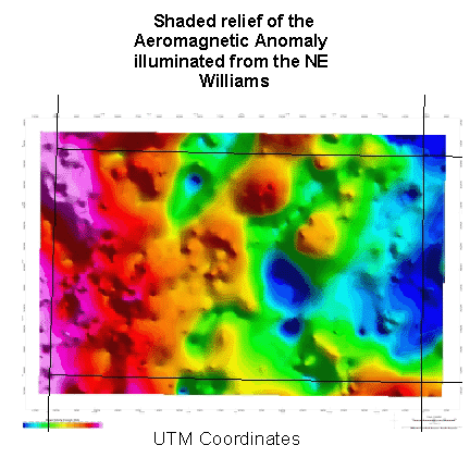
| wl_mag
|
Aeromagnetic Anomaly of the Williams quadrangle
illuminated from the NE
|
AMAG (NE)
|
Geotif / NAD-27
|
14.7 MB
|
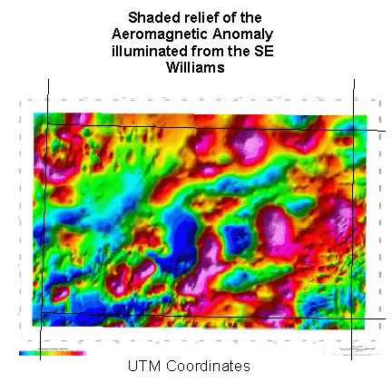
| wlse_mag
|
Aeromagnetic Anomaly of the Williams quadrangle
illuminated from the SE
|
AMAG (SE)
|
Geotif / NAD-27
|
14.1 MB
|
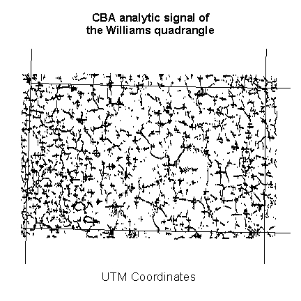
| wl_cba_an |
CBA analytic signal of the Williams quadrangle
|
CBA analytic signal
|
Shapefile / NAD-27
|
0.4 MB
|
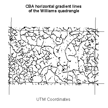
| wl_cba_hz |
CBA horizontal gradient maxima lines of the Williams quadrangle
|
CBA horizontal gradient
|
Shapefile / NAD-27
|
0.3 MB
|
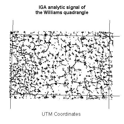
| wl_iga_an |
IGA analytic signal of the Williams quadrangle
|
IGA analytic signal
|
Shapefile / NAD-27
|
0.4 MB
|
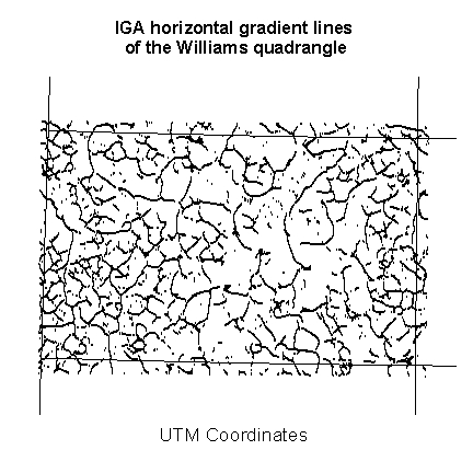
| wl_iga_hz |
IGA horizontal gradient maxima lines of the
Williams quadrangle
|
IGA horizontal gradient
|
Shapefile / NAD-27
|
0.3 MB
|
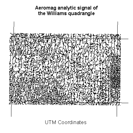
| wl_mag_an |
Aeromag analytic signal of the Williams quadrangle
|
Aeromag analytic signal
|
Shapefile / NAD-27
|
0.7 MB
|
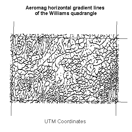
| wl_mag_hz |
Aeromag horizontal gradient maxima lines of the
Williams quadrangle
|
Aeromag horizontal gradient
|
Shapefile / NAD-27
|
0.5 MB
|
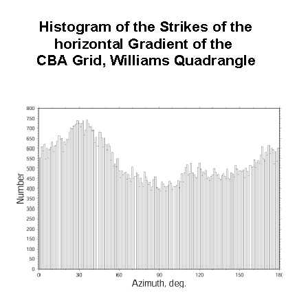
| wl_cba_hist |
Histogram of the strikes of the horizontal gradient
of the Williams CBA grid
|
CBA Histogram
|
TIF image / NA
|
0.2 MB
|
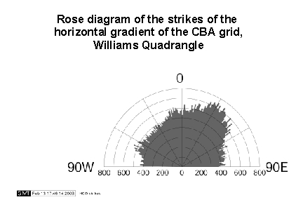
| wl_cba_rose |
Rose diagram of the strikes of the horizontal
gradient of the Williams CBA grid
|
CBA Rose Diagram
|
TIF image / NA
|
0.1 MB
|
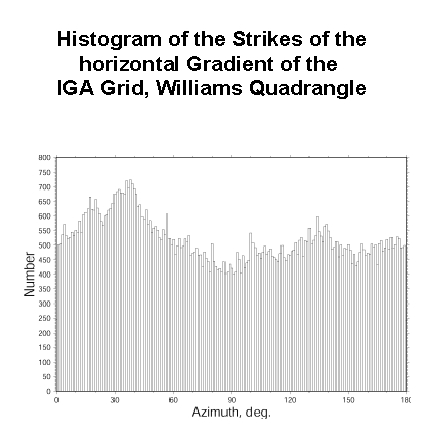
| wl_iga_hist
|
Histogram of the strikes of the horizontal gradient
of the Williams IGA grid
|
IGA Histogram
|
TIF image / NA
|
0.2 MB
|
|
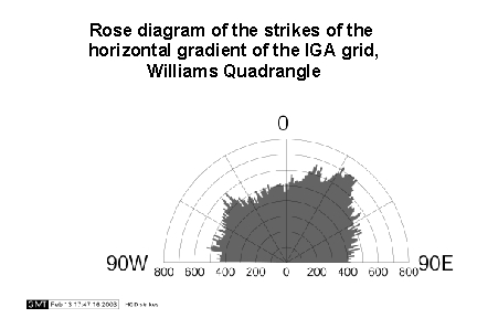
wl_iga_rose
|
Rose Diagram of the strikes of the horizontal
gradient of the Williams IGA grid
|
IGA Rose Diagram
|
TIF image / NA
|
0.1 MB
|
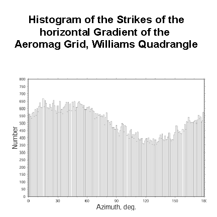
| wl_mag_hist
|
Histogram of the strikes of the horizontal gradient
of the Williams Aeromag grid
|
Aeromag Histogram
|
TIF image / NA
|
0.2 MB
|
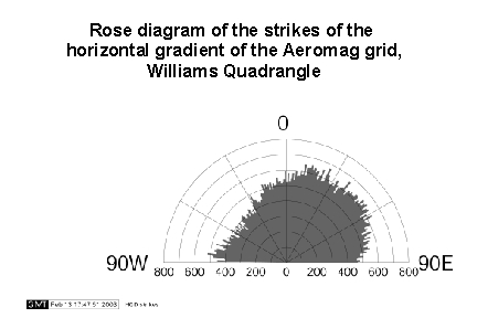
| wl_mag_rose |
Rose Diagram of the strikes of the horizontal
gradient of the Williams Aeromag grid
|
Aeromag Rose Diagram
|
TIF image / NA
|
0.1 MB
|
| wl_cba.gxf
|
Geosoft Exchange File Format of the Williams CBA
grid (not compressed)
|
No Image
|
GXF/NAD27
|
1.0 MB
|
| wl_iga.gxf
|
Geosoft Exchange File Format of the Williams IGA
grid (not compressed)
|
No Image
|
GXF/NAD27
|
0.9 MB
|
| wl_mag.gxf
|
Geosoft Exchange File Format of the Williams
Aeromag grid (not compressed)
|
No Image
|
GXF/NAD27
|
0.9 MB
|
| w_slar
|
Side looking airborne radar
(SLAR) data |
No Image |
Geotiff/WGS-84 |
14.9 MB |
| w_slar_lin |
Lineaments derived from SLAR
data |
No Image |
Geotiff/WGS-84 |
2.2 MB |
| w_dem
|
DEM image |
No image |
Geotiff/WGS-84 |
21.2 MB |
| w_csr
|
Color shaded relief DEM
image |
No image |
Geotiff/WGS-84 |
49.7 MB |
| w_dem_lin
|
Lineaments derived from DEM |
No Image |
Geotiff/WGS-84 |
1.5 MB |
| w_geology
|
Folds and faults from
derived from geologic maps |
No Image |
Geotiff/WGS-84 |
0.2 MB |
| w_tm8
|
Landsat Thematic Mapper
image band 8 (TM8) |
No Image |
Geotiff/WGS-84 |
59.1 MB |
| w_tm8_lin
|
Lineaments derived from TM8 |
No Image |
Geotiff/WGS-84 |
5.6 MB |
| w_ndvi_cor
|
Normalized difference
vegetation index with all correlations |
No Image |
Geotiff/WGS-84 |
39.7 MB |
| w_drg_cor
|
Keyed correlations on
Williams DRG 1:250,000 image |
No Image |
Geotiff/WGS-84 |
15.6 MB |
| w_correlations
|
Keyed correlations for CBA,
IGA, and aeromagnetic anomaly maps including a composite correlation
map
Click here for information
about this plate
|
No Image |
ARC/INFO grid/WGS-84 |
8.7 MB |