Link to USGS home page.
Data Series 128: Online Report
  About USGS /  Science Topics /  Maps, Products & Publications /  Education / FAQ

Missouri Magnetic and Gravity Maps and Data:

A Web Site for Distribution of Data

By

Robert P. Kucks and Patricia L. Hill

Data Series 128
2005

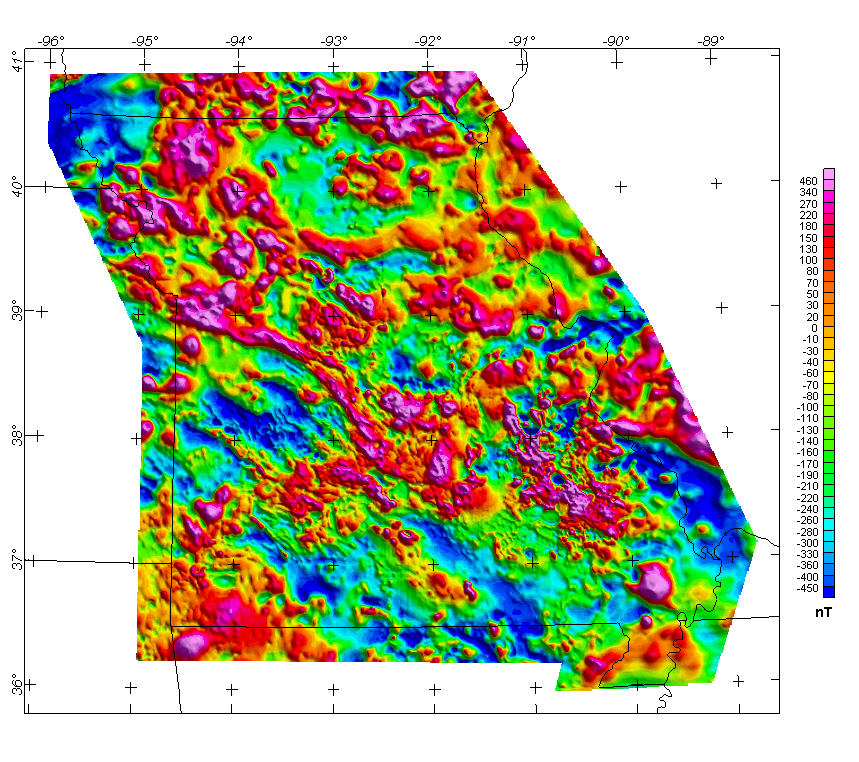
Missouri Composite Magnetic Anomaly Map (NE illumination) at simulated flight altitude of 305 m (1,000 ft) above ground

Missouri Composite Magnetic Anomaly Map

The grid for this map is available from the data directory as magmo.grd


Get Map Info Get Processing Info Get Survey Info Detailed Aeromag Maps Bouger Gravity Map Isostatic Gravity Map Get Data

Non-graphical version of this page


Any use of trade, product, or firm names is for descriptive purposes only and does not imply endorsement by the U.S. Government.


Top || Missouri home || Crustal Team

For more information about this report contact: Bob Kucks

USA.gov logo