U.S. Geological Survey Data Series 291
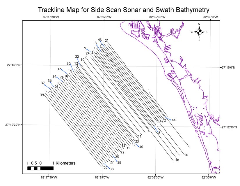
Navigation data were recorded with HYPACK software during data collection. The swath bathymetry and side scan sonar data were collected simultaneously while running the tracklines depicted in the following image. Singlebeam tracklines are depicted in the second image. These trackline maps were created with ESRI ArcGIS 9.1 software.
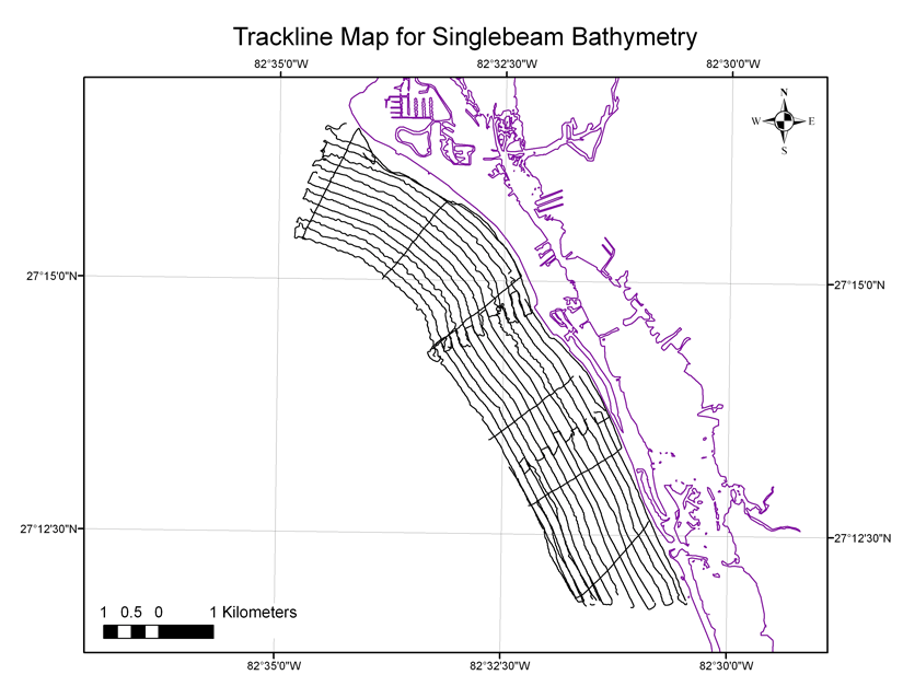
Map showing trackline locations for singlebeam survey.

![]() U.S. Department of the Interior |
U.S. Geological Survey
U.S. Department of the Interior |
U.S. Geological Survey
URL: pubsdata.usgs.gov/pubs/ds/291/html/nav.html
Page Contact Information: Publishing Services
Page Last Modified: Monday, 28-Nov-2016 12:47:47 EST