Data Series 400
|
|
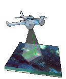
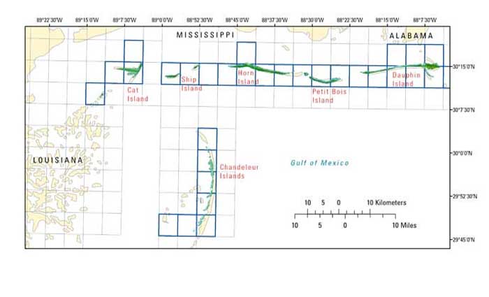
EAARL Coastal Topography–Northern Gulf of Mexico, 2007: Bare EarthKathryn E.L. Smith,1 Amar Nayegandhi,2 C. Wayne Wright,1 Jamie M. Bonisteel,2 and John C. Brock1 1U.S. Geological Survey, FISC, St. Petersburg, FL., 2Jacobs Technology, St. Petersburg, FL, This DVD contains Lidar-derived bare earth (BE) coastal topography Geographic Information Systems (GIS) data of the barrier islands and peninsular areas within the northern Gulf of Mexico, which includes areas in Florida, Alabama, Mississipi, and Louisiana. These data were acquired June 27th through June 30th, 2007. Click on one of the Quarter-Quad areas, highlighted on each map, to view the corresponding images and links to each data directory.
|

![]() U.S. Department of the
Interior | U.S. Geological Survey
U.S. Department of the
Interior | U.S. Geological Survey
URL: https://pubsdata.usgs.gov/pubs/ds/400/index.html
Page Contact Information: Feedback
Maintained by: Publishing Service Center
Page Last Modified: Monday, 28-Nov-2016 14:00:15 EST