Data Series 407
Abstract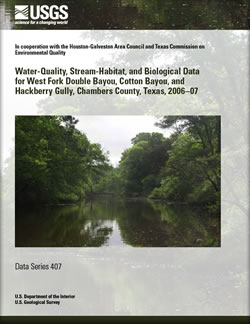
The U.S. Geological Survey (USGS), in cooperation with the Houston-Galveston Area Council and the Texas Commission on Environmental Quality, collected water-quality, stream-habitat, and biological data from two sites at West Fork Double Bayou, two sites at Cotton Bayou, and one site at Hackberry Gully in Chambers County, Texas, during July 2006–August 2007. Water-quality data-collection surveys consisted of synoptic 24-hour continuous measurements of water temperature, pH, specific conductance, and dissolved oxygen at the five sites and periodically collected samples at four sites analyzed for several properties and constituents of interest. Stream-habitat data were collected at each of four sites three times during the study. At each site, a representative stream reach was selected and within this reach, five evenly spaced stream transects were determined. At each transect, stream attributes (wetted channel width, water depth, bottom material, instream cover) and riparian attributes (bank slope and erosion potential, width of natural vegetation, type of vegetation, percentage tree canopy) were measured. Benthic macroinvertebrate and fish data were collected from the same reaches identified for habitat evaluation. A total of 2,572 macroinvertebrate individuals were identified from the four reaches; insect taxa were more abundant than non-insect taxa at all reaches. A total of 1,082 fish, representing 30 species and 13 families, were collected across all reaches. Stream-habitat and aquatic biota (benthic macroinvertebrates and fish) were assessed at the four sites to evaluate aquatic life use. Habitat quality index scores generally indicated “intermediate” aquatic life use at most reaches. Benthic macroinvertebrate metrics scores indicated generally “intermediate” aquatic life use for the West Fork Double Bayou reaches and generally “high” aquatic life use for the Cotton Bayou and Hackberry Gully reaches. Index of biotic integrity scores for fish indicated generally “high” aquatic life use at one West Fork Double Bayou reach; “intermediate” aquatic life use at the other West Fork Double Bayou reach; and generally “intermediate” aquatic life use at the Cotton Bayou and Hackberry Gully reaches. |
First posted May 8, 2009 For additional information contact: Part or all of this report is presented in Portable Document Format (PDF); the latest version of Adobe Reader or similar software is required to view it. Download the latest version of Adobe Reader, free of charge. |
Brown, D.W., and Turco, M.J., 2009, Water-quality, stream-habitat, and biological data for West Fork Double Bayou, Cotton Bayou, and Hackberry Gully, Chambers County, Texas, 2006–07: U.S. Geological Survey Data Series 407, 36 p.
Abstract
Introduction
Data Collection and Analysis
Water-Quality Data
Stream-Habitat Data
Biological Data
Summary
References
Appendixes

![]() U.S. Department of the Interior |
U.S. Geological Survey
U.S. Department of the Interior |
U.S. Geological Survey
URL: http://pubsdata.usgs.gov/pubs/ds/407/index.html
Page Contact Information: GS Pubs Web Contact
Page Last Modified: Monday, 28-Nov-2016 13:52:50 EST
