Data Series 456
Abstract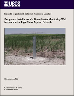
The High Plains aquifer is an important water source for irrigated agriculture and domestic supplies in northeastern Colorado. To address the needs of Colorado’s Groundwater Protection Program, the U.S. Geological Survey designed and installed a groundwater monitoring-well network in cooperation with the Colorado Department of Agriculture in 2008 to characterize water quality in the High Plains aquifer underlying areas of irrigated agriculture in eastern Colorado. A 30-well network was designed to provide for statistical representation of water-quality conditions by using a computerized technique to generate randomly distributed potential groundwater sampling sites based on aquifer extent, extent of irrigated agricultural land, depth to water from land surface, and saturated thickness. Twenty of the 30 sites were selected for well installation, and wells were drilled and installed during the period June–September 2008. Lithologic logs and well-construction reports were prepared for each well, and wells were developed after drilling to remove mud and foreign material to provide for good hydraulic connection between the well and aquifer. Documentation of the well-network design, site selection, lithologic logs, well-construction diagrams, and well-development records is presented in this report. |
First posted October 20, 2009 For additional information contact: |
Arnold, L.R., Flynn, J.L., and Paschke, S.S., 2009, Design and installation of a groundwater monitoring-well network in the High Plains aquifer, Colorado: U.S. Geological Survey Data Series 456, 47 p.
Abstract
Introduction
Summary
References Cited
Appendix 1. Lithologic Logs
Appendix 2. Well-Construction Diagrams
Appendix 3. Well-Development Records

![]() U.S. Department of the Interior |
U.S. Geological Survey
U.S. Department of the Interior |
U.S. Geological Survey
URL: http://pubsdata.usgs.gov/pubs/ds/456/index.html
Page Contact Information: GS Pubs Web Contact
Page Last Modified: Monday, 28-Nov-2016 14:57:31 EST
