Data Series 554
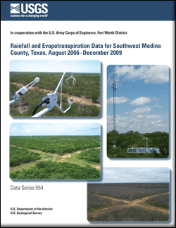
During August 2006–December 2009, the U.S. Geological Survey (USGS), in cooperation with the U.S. Army Corps of Engineers, Fort Worth District, collected rainfall and evapotranspiration data to help characterize the hydrology of the Nueces River Basin, Texas. The USGS installed and operated a station to collect continuous (30-minute interval) rainfall and evapotranspiration data in southwest Medina County approximately 14 miles southwest of D'Hanis, Texas, and 23 miles northwest of Pearsall, Texas. Rainfall data were collected by using an 8-inch tipping bucket raingage. Meteorological and surface-energy flux data used to calculate evapotranspiration were collected by using an extended Open Path Eddy Covariance system from Campbell Scientific, Inc. Data recorded by the system were used to calculate evapotranspiration by using the eddy covariance and Bowen ratio closure methods and to analyze the surface energy budget closure. During August 2006–December 2009 (excluding days of missing record), measured rainfall totaled 86.85 inches. In 2007, 2008, and 2009, annual rainfall totaled 40.98, 12.35, and 27.15 inches, respectively. The largest monthly rainfall total, 12.30 inches, occurred in July 2007. During August 2006–December 2009, evapotranspiration calculated by using the eddy covariance method totaled 69.91 inches. Annual evapotranspiration calculated by using the eddy covariance method totaled 34.62 inches in 2007, 15.24 inches in 2008, and 15.57 inches in 2009. During August 2006–December 2009, evapotranspiration calculated by using the Bowen ratio closure method (the more refined of the two datasets) totaled 68.33 inches. Annual evapotranspiration calculated by using the Bowen ratio closure method totaled 32.49, 15.54, and 15.80 inches in 2007, 2008, and 2009, respectively (excluding days of missing record). |
First posted March 8, 2011
For additional information contact: Part or all of this report is presented in Portable Document Format (PDF); the latest version of Adobe Reader or similar software is required to view it. Download the latest version of Adobe Reader, free of charge. |
Slattery, R.N., Asquith, W.H., and Ockerman, D.J., 2011, Rainfall and evapotranspiration data for southwest Medina County, Texas, August 2006–December 2009: U.S. Geological Survey Data Series 554, 28 p. (Appendix available online at https://pubs.usgs.gov/ds/554/.)
Abstract
Introduction
Methods
Rainfall Data
Evapotranspiration Data
Summary
References Cited
Appendix 1 (available online only)

![]() U.S. Department of the Interior |
U.S. Geological Survey
U.S. Department of the Interior |
U.S. Geological Survey
URL: http://pubsdata.usgs.gov/pubs/ds/554/index.html
Page Contact Information: GS Pubs Web Contact
Page Last Modified: Monday, 28-Nov-2016 16:45:10 EST
