Data Series 572
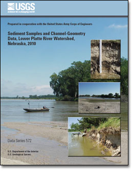
AbstractThe relation between channel width and stream physical habitat in the lower Platte River in eastern Nebraska was studied as part of the lower Platte River Cumulative Impact Study. The purpose of this component was to document the grain-size distribution of sediment deposited as specific types of physical features, such as sandbars, banks, and stream beds within different hydraulic habitats, within the lower Platte River system. In so doing, the major sources of sediment for sandbar creation downstream are described. Sediment samples were collected from 11 reaches of the lower Platte River from Silver Creek, Nebraska, to the mouth of the Platte River, and from 4 tributary streams. Two bed-material samples, 2 bank-material samples, and 3 sandbar-material samples were collected at main-stem sampling sites, and 1 sample each of bed material and bank material was collected at each tributary sampling site. Aspects of channel geometry, such as channel width, sandbar height and width, and bank height, were measured at each sampled site. This report presents the channel-geometry results and documents the sample-collection methods. |
First posted March 16, 2011 For additional information contact: Part or all of this report is presented in Portable Document Format (PDF); the latest version of Adobe Reader or similar software is required to view it. Download the latest version of Adobe Reader, free of charge. |
Schaepe, N.J., and Alexander, J.S., 2011, Sediment samples and channel-geometry data, lower Platte River watershed, Nebraska, 2010: U.S. Geological Survey Data Series 572, 22 p.
Abstract
Introduction
Methods
Channel-Geometry Data
References Cited
Appendix

![]() U.S. Department of the Interior |
U.S. Geological Survey
U.S. Department of the Interior |
U.S. Geological Survey
URL: http://pubsdata.usgs.gov/pubs/ds/572/index.html
Page Contact Information: GS Pubs Web Contact
Page Last Modified: Monday, 28-Nov-2016 16:45:16 EST
