U.S. Geological Survey Data Series 577
Figures |
Figure 1. Mississippi barrier islands study area for USGS Cruise 10CCT02. |
Figure 2. Map showing ship trackline coverage, USGS Cruise 10CCT02. |
Figure 3. Map showing processed swath trackline coverage, USGS Cruise 10CCT02. |
Figure 4. Map showing processed side scan trackline coverage, USGS Cruise 10CCT02. |
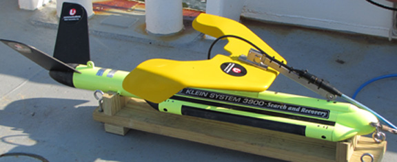
Figure 5. Photograph of the Klein 3900 side scan sonar "towfish" instrument. |
Figure 6. Photograph of pole-mounted swath transducer lowered into position aboard the R/V Tommy Munro. |
Figure 7. Image of SEA Ltd., SWATHplus Acquisition and Processing Interface. |

![]() U.S. Department of the Interior |
U.S. Geological Survey
U.S. Department of the Interior |
U.S. Geological Survey
URL: https://pubsdata.usgs.gov/pubs/ds/577/html/figures.html
Page Contact Information: William R. Pfeiffer
Page Last Modified: Monday, 28-Nov-2016 16:47:45 EST
