 Summary Summary
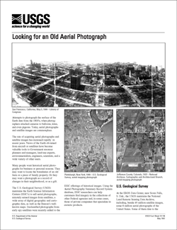
Attempts to photograph the surface of the Earth date from the 1800's, when photographers attached cameras to balloons, kites, and even pigeons. Today, aerial photographs and satellite images are commonplace.
The rate of acquiring aerial photographs and satellite images has increased rapidly in recent years. Views of the Earth ob-tained from aircraft or satellites have become valuable tools to Government resource planners and managers, land-use experts, environmentalists, engineers, scientists, and a wide variety of other users.
Many people want historical aerial photographs for business or personal reasons. They may want to locate the boundaries of an old farm or a piece of family property. Or they may want a photograph as a record of changes in their neighborhood, or as a gift.
The U.S. Geological Survey (USGS) maintains the Earth Science Information Centers (ESIC’s) to sell aerial photographs, remotely sensed images from satellites, a wide array of digital geographic and cartographic data, as well as the Bureau’s well-known maps. Declassified photographs from early spy satellites were recently added to the
ESIC offerings of historical images. Using the Aerial Photography Summary Record System database, ESIC researchers can help customers find imagery in the collections of other Federal agencies and, in some cases, those of private companies that specialize in esoteric products.
|
First posted May 27, 2007
Part or all of this report is presented in Portable Document Format (PDF); the latest version of Adobe Reader or similar software is required to view it. Download the latest version of Adobe Reader, free of charge. |

