Western Coastal and Marine Geology
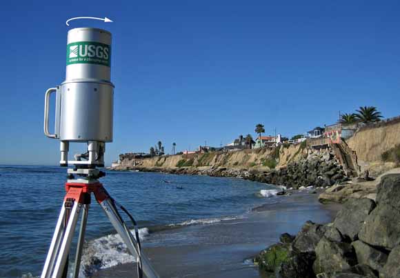
The rate of natural change in such dynamic environments as rivers and coastlines can sometimes overwhelm the monitoring capacity of conventional surveying methods. In response to this limitation, U.S. Geological Survey (USGS) scientists are pioneering new applications of light detection and ranging (lidar), a laser-based scanning technology that promises to greatly increase our ability to track rapid topographic changes and manage their impact on affected communities.
Download this report as a 4-page PDF file (fs-2006-3111.pdf; 2.5 MB)
For questions about the content of this report, contact Brian Collins
Download a copy of the latest version of Adobe Reader for free.
|
Help |
PDF help |
Publications main page |
| Western Fact Sheets |
| Geologic Division |
Western Coastal and Marine Geology
|

![]() U.S. Department of the Interior | U.S. Geological Survey
U.S. Department of the Interior | U.S. Geological Survey
URL: https://pubs.usgs.gov/fs/2006/3111/
Page Contact Information: Michael Diggles
Page Last Modified: October 12, 2007