 |
|
|
||||
Prepared in cooperation with:
Pinellas County
Southwest Florida Water Management District
Tampa Bay Water
2006
 |
Select an option: |
|
CONTENTS Introduction Wetland Perimeters Wetland Bathymetry Potential Effects of Mapping Approach Uses for Wetland Flooded-Area Data References |
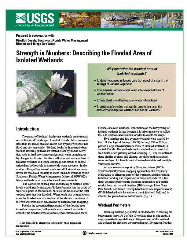
Thousands of isolated, freshwater wetlands are scattered across the karst1 landscape of central Florida. Most are small (less than 15 acres), shallow, marsh and cypress wetlands that flood and dry seasonally. Wetland health is threatened when wetland flooding patterns are altered either by human activities, such as land-use change and ground-water pumping, or by changes in climate. Yet the small sizes and vast numbers of isolated wetlands in Florida challenge our efforts to characterize them collectively as a statewide water resource. In the northern Tampa Bay area of west-central Florida alone, water levels are measured monthly in more than 400 wetlands by the Southwest Florida Water Management Distirct (SWFWMD). Many wetlands have over a decade of measurements.
The usefulness of long-term monitoring of wetland water levels would greatly increase if it described not just the depth of water at a point in the wetland, but also the amount of the total wetland area that was flooded. Water levels can be used to estimate the flooded area of a wetland if the elevation contours of the wetland bottom are determined by bathymetric mapping.
Despite the recognized importance of the flooded area to wetland vegetation, bathymetric maps are not available to describe the flooded areas of even a representative number of Florida’s isolated wetlands. Information on the bathymetry of isolated wetlands is rare because it is labor intensive to collect the land-surface elevation data needed to create the maps.
Five marshes and five cypress wetlands were studied by the U.S. Geological Survey (USGS) during 2000 to 2004 as part of a large interdisciplinary study of isolated wetlands in central Florida. The wetlands are located either in municipal well fields or on publicly owned lands (fig. 1). The 10 wetlands share similar geology and climate, but differ in their ground-water settings. All have historical water-level data and multiple vegetation surveys.
A comprehensive report by Haag and others (2005) documents bathymetric mapping approaches, the frequency of flooding in different areas of the wetlands, and the relation between flooding and vegetation in these wetlands. This fact sheet describes bathymetric mapping approaches and partial results from two natural marshes (Hillsborough River State Park Marsh, and Green Swamp Marsh) and one impaired marsh (W-29 Marsh) that is located on a municipal well field and is affected by ground-water withdrawals. (fig. 1).
Lee, T.M., and Haag, K.H., 2006, Strength in Numbers: Describing the Flooded Area of Isolated Wetlands: U.S. Geological Survey Fact Sheet 2006-3118, 4 p.
U.S. Geological Survey
Suite 215
10500 University Center Dr.
Tampa, FL 33612-6427
813-975-8620
| AccessibilityFOIAPrivacyPolicies and Notices | |
| U.S. Department of the Interior, U.S. Geological Survey
Persistent URL: https://pubs.water.usgs.gov/fs20063118 Page Contact Information: USGS Publishing Network Last modified: Tuesday, 29-Nov-2016 17:23:42 EST |
 |