Fact Sheet 2007–3078
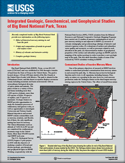 
Introduction Big Bend National Park (BBNP), Texas, covers 801,163 acres (3,242 km2) and was established in 1944 through a transfer of land from the State of Texas to the United States. The park is located along a 118-mi (190-km) stretch of the Rio Grande at the United States border with Mexico. The U.S. Geological Survey (USGS) began a 5-year project in 2003 with the objective of studying a number of broad and diverse geologic, geochemical, and geophysical topics in BBNP. This fact sheet describes results of some of the research by USGS scientists working in BBNP. |
Version 1.0 Posted September 2007 |
Gray, J.E., Finn, C.A., Morgan, L.A., Page, W.R., and Shanks, W.C., 2007, Integrated geologic, geochemical, and geophysical studies of Big Bend National Park, Texas: U.S. Geological Survey Fact Sheet 2007-3078, 6 p.

![]() U.S. Department of the Interior | U.S. Geological Survey
U.S. Department of the Interior | U.S. Geological Survey
URL: http://pubsdata.usgs.gov/pubs/fs/2007/3078/index.html
Questions or Assistance: Contact USGS
Last modified: Tuesday, 29-Nov-2016 18:06:14 EST
