Fact Sheet 2008–3017
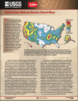 
The U.S. Geological Survey’s maps of earthquake shaking hazards provide information essential to creating and updating the seismic design provisions of building codes and insurance rates used in the United States. Buildings, bridges, highways, and utilities built to meet modern seismic design provisions are better able to withstand earthquakes, saving lives and enabling critical activities to continue with less disruption. |
Version 1.0 Posted April 2008 |
Petersen, M.D., and others, 2008, United States National Seismic Hazard Maps: U.S. Geological Survey Fact Sheet 2008–3017, 4 p.

![]() U.S. Department of the Interior | U.S. Geological Survey
U.S. Department of the Interior | U.S. Geological Survey
URL: http://pubsdata.usgs.gov/pubs/fs/2008/3017/index.html
Questions or Assistance: Contact USGS
Last modified: Tuesday, 29-Nov-2016 18:19:24 EST
