Fact Sheet 2008-3088
Need for High-Resolution Elevation Data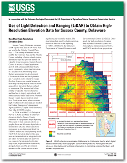
Sussex County, Delaware, occupies a 938-square-mile area of low relief near sea level in the Atlantic Coastal Plain. The county is bounded on the east by the Delaware Bay and the Atlantic Ocean, including a barrier-island system, and inland bays that provide habitat for valuable living resources. Eastern Sussex County is an area of rapid population growth with a long-established beach-resort community, where land elevation is a key factor in determining areas that are appropriate for development. Of concern to State and local planners are evacuation routes inland to escape flooding from severe coastal storms, as most major transportation routes traverse areas of low elevation that are subject to inundation. The western half of the county is typically rural in character, and land use is largely agricultural with some scattered forest land cover. Western Sussex County has several low-relief river flood-prone areas, where accurate high-resolution elevation data are needed for Federal Emergency Management Agency (FEMA) Digital Flood Insurance Rate Map (DFIRM) studies. This fact sheet describes the methods and techniques used to collect and process LiDAR elevation data, the generation of the digital elevation model (DEM) and the 2-foot contours, and the quality-assurance procedures and results. It indicates where to view metadata on the data sets and where to acquire bare-earth mass points, DEM data, and contour data. |
Posted December 2008 For additional information contact: Part or all of this report is presented in Portable Document Format (PDF); the latest version of Adobe Reader or similar software is required to view it. Download the latest version of Adobe Reader, free of charge. |
Barlow, R.A., Nardi, M.R., and Reyes, Betzaida, 2008, Use of light detection and ranging (LiDAR) to obtain high-resolution elevation data for Sussex County, Delaware: U.S. Geological Survey Fact Sheet 2008–3088, 6 p.

![]() U.S. Department of the Interior |
U.S. Geological Survey
U.S. Department of the Interior |
U.S. Geological Survey
URL: http://pubsdata.usgs.gov/pubs/fs/2008/3088/index.html
Page Contact Information: GS Pubs Web Contact
Page Last Modified: Tuesday, 29-Nov-2016 18:23:03 EST
