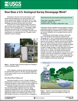
Fact Sheet 2011–3001
Information on the flow of rivers and streams is a vital national asset that safeguards lives, protects property, and ensures adequate water supplies for the future. The U.S. Geological Survey (USGS) operates a network of more than 9,000 streamgages nationwide with more than 500 in Texas. |
First posted January 6, 2011 For additional information contact: This report is presented in Portable Document Format (PDF); the latest version of Adobe Reader or similar software is required to view it. Download the latest version of Adobe Reader, free of charge. |
Lurry, D.L., 2011, How does a U.S. Geological Survey streamgage work?: U.S. Geological Survey Fact Sheet 2011–3001, 2 p.
How Streamflow Is Measured
The Relation of Height to Streamflow
Making Discharge Measurements
Streamflow Data on the Internet
References

![]() U.S. Department of the Interior |
U.S. Geological Survey
U.S. Department of the Interior |
U.S. Geological Survey
URL: http://pubsdata.usgs.gov/pubs/fs/2011/3001/index.html
Page Contact Information: GS Pubs Web Contact
Page Last Modified: Tuesday, 29-Nov-2016 17:45:29 EST
