 Abstract Abstract
Elevation data are essential to a broad range of applications, including forest
resources management, wildlife and habitat management, national security, recreation, and
many others. For the State of Alaska, elevation data are critical for aviation navigation
and safety, natural resources conservation, oil and gas resources, flood risk management,
geologic resource assessment and hazards mitigation, forest resources management, and other
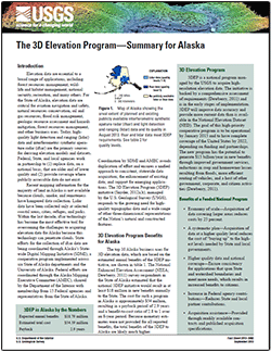
business uses. Today, high-quality light detection and ranging (lidar) data and
interferometric synthetic aperture radar (ifsar) are the primary sources for deriving
elevation models and datasets. Federal, State, and local agencies work in partnership to
(1) replace data, on a national basis, that are older and of lower quality and (2) provide
coverage where publicly accessible data do not exist.
Recent mapping information for the majority of land in Alaska is not available because clouds,
smoke, and remoteness have hampered data collection. Lidar data have been collected only at
selected coastal areas, cities, refuges, and parks. Within the last decade, ifsar technology has
become the most effective tool for overcoming the challenges to acquiring elevation data for
Alaska because this technology can penetrate clouds. State efforts for the collection of ifsar
data are being coordinated through Alaska’s Statewide Digital Mapping Initiative (SDMI), a
cooperative program implemented across six State of Alaska departments and the University of
Alaska. Federal efforts are coordinated through the Alaska Mapping Executive Committee (AMEC),
chaired by the Department of the Interior with membership from 15 Federal agencies and
representatives from the State of Alaska.
Coordination by SDMI and AMEC avoids duplication of effort and ensures a unified approach
to consistent, statewide data acquisition; the enhancement of existing data; and support for
emerging applications. The 3D Elevation Program (3DEP) initiative, managed by the U.S. Geological Survey (USGS), responds to the growing need for high-quality topographic data and a wide range of
other three-dimensional representations of the Nation’s natural and constructed features.
|
First posted September 17, 2013
Part or all of this report is presented in Portable Document Format (PDF); the latest version of Adobe Reader or similar software is required to view it. Download the latest version of Adobe Reader, free of charge. |

