Skip Links

USGS - science for a changing world

Fact Sheet 2014–3084

The National Map Hydrography Data Stewardship—What is it and Why is it Important?

By Dave Arnold

Thumbnail of and link to report PDF (1.02 MB)Abstract

The National Hydrography Dataset (NHD) and Watershed Boundary Dataset (WBD) were designed and populated by a large consortium of agencies involved in hydrography across the United States. The effort was led by the U.S. Geological Survey (USGS), the U.S. Environmental Protection Agency (EPA), and the Natural Resources Conservation Service (NRCS). The high-resolution NHD dataset, completed in 2007, is based on the USGS 7.5-minute series topographic maps at a scale of 1:24,000. There are now 26 million features in the NHD representing a 7.5 million mile stream network with over 6.5 million waterbodies. The six-level WBD, completed in 2010, is based on 1:24,000 scale data and contains over 23,000 watershed polygons.

The NHD’s flow network, attribution, and linear referencing are used to conduct extensive scientific analyses. The NHD is ideal for cartographic applications such as the US Topo topographic map series, and also is available on the Geospatial Platform, which provides shared and trusted geospatial data, services, and applications for use by government agencies, their partners, and the public. The WBD watersheds are used by scientists and managers to identify discrete drainage areas. The ongoing maintenance of the NHD and WBD is essential for improving these datasets to meet the ever increasing demand for currency, additional detail, and more significant attribution. The best source of information about changes in local hydrography are users closest to the data, such as State and local governments, as well as Federal land management agencies, and other users of the data. The need for local knowledge has led to the creation of a collaborative data stewardship process to revise and maintain the NHD.

First posted September 24, 2014

For additional information contact:
National Geospatial Technical Operations Center
U.S. Geological Survey
1400 Independence Road
Rolla, MO 65401–2602
http://ngtoc.usgs.gov/

Part or all of this report is presented in Portable Document Format (PDF). For best results viewing and printing PDF documents, it is recommended that you download the documents to your computer and open them with Adobe Reader. PDF documents opened from your browser may not display or print as intended. Download the latest version of Adobe Reader, free of charge. More information about viewing, downloading, and printing report files can be found here.


Suggested citation:

Arnold, D.E., 2014, The National Map Hydrography Data Stewardship—What is it and why is it important?: U.S. Geological Survey Fact Sheet 2014–3084, 2 p., https://dx.doi.org/10.3133/fs20143084.

ISSN 2327-6916 (print)

ISSN 2327-6932 (online)
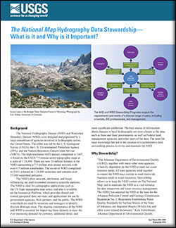


Contents

Background

Why Stewardship?

The Stewardship Process


Accessibility FOIA Privacy Policies and Notices

Take Pride in America logo USA.gov logo U.S. Department of the Interior | U.S. Geological Survey
URL: http://pubsdata.usgs.gov/pubs/fs/2014/3084/index.html
Page Contact Information: GS Pubs Web Contact
Page Last Modified: Tuesday, 29-Nov-2016 17:26:00 EST