

|
|
|
|
|
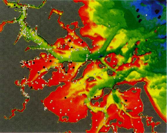
| Samples from the USGS-Woods Hole Contaminated-Sediments Database (white and black points) superimposed on a shaded relief map of NOAA bathymetry. Colors denote mean low-water depths: Blue, >40'; green, 30-40'; yellow, 20-30'; orange, 10-20'; red, <10'. |
 |