
Fact Sheet 004-02
Online Version 1.0
Coal Resources of Selected Coal Beds and Zones in the Northern and Central Appalachian Basin
By Leslie Ruppert, Susan Tewalt, and Linda Bragg
|
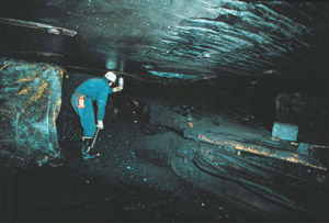
The Appalachian Basin is one of the most important coal-producing regions in the world. Bituminous coal has been mined in the
basin for the last three centuries, and the cumulative production is estimated at 34.5 billion short tons. Annual production in 1998 was about 452 million short tons; the basin's production
is mostly in the northern (32 percent) and central (63 percent) coal regions. The coal is used primarily within the Eastern United States for electric power generation, but some of it is suitable for metallurgical uses.
The U.S. Geological Survey (USGS) is completing a National Coal Resource Assessment of five coal-producing regions of the United States, including the Appalachian Basin. The USGS, in cooperation with the State geological surveys of Kentucky, Maryland, Ohio, Pennsylvania, Virginia, and West Virginia, has completed a digital coal resource assessment of five of the top-producing coal beds and coal zones in the northern and central Appalachian Basin coal regions -- the Pittsburgh coal bed, the Upper Freeport coal bed, the Fire Clay and Pond Creek coal zones, and the Pocahontas No. 3 coal bed. Of the 93 billion short tons of original coal in these units, about 66 billion short tons remain. |
View a
Download Adobe
Acrobat Reader version 5.0 for free
URL: https://pubsdata.usgs.gov/pubs/fs/fs004-02/index.html
For more information, contact Leslie Ruppert
Maintained by Eastern Publications Group
Last modified: 17:47:21 Tue 29 Nov 2016
Privacy statement | General disclaimer | Accessibility