

|
|
|
|
|
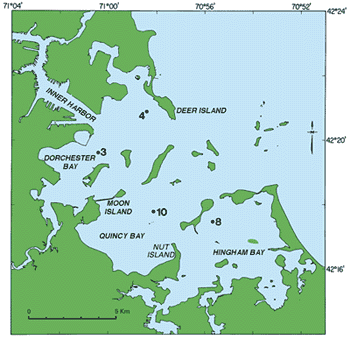
| Figure 1. Four locations in Boston Harbor have been sampled periodically since 1977. Station 4 is in a sandy area and closest to the Deer Island sewage outfall. The remaining stations contain mostly silt and clay and are considered areas where sediment is actively deposited. The contaminated-sediment data base includes information on metal concentrations and other sediment parameters for about 3,000 samples collected throughout the harbor area. Numerals indicate monitoring station locations. |
 |