
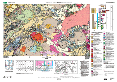
Geologic Map of the Tularosa Mountains 30' x 60' Quadrangle, Catron County, New Mexico
By James C. Ratté
Version 1.0
PDF files:
Map PDF file (19 MB)
Map text-only PDF file (39 KB)
(This version of the report is accessible as defined in Section 508.)
Pamphlet PDF file (279 KB)
(This version of the report is accessible as defined in Section 508.)
GIS files:
ZIPPED archive file (17 MB)
TARRED and GZIPPED archive file (17 MB)
Readme TEXT file (2 KB)
Metadata file:
Metadata TEXT file (29 KB)
The online edition of this publication consists of a digital database, metadata, a print-optimized PDF file for the map sheet, and a text-only PDF file that is accessible as defined in Section 508 of the Rehabilitation Act. A high-quality printed edition of this publication is for sale by Information Services, U.S. Geological Survey (1-888-ASK-USGS).
![]()