U.S. Geological
Survey
Miscellaneous Investigations Series Map I-2267
Online version 1.0 Digital Database version 1.0
By
Digital Database By
|
|
|
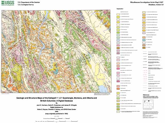
INTRODUCTION The geologic map of the Kalispell 1 x 2 degree quadrangle (Harrison and others, 1992) was originally digitized by staff at the U.S. Geological Survey's Earth Resources Observation Systems (EROS) Data Center prior to 1994 and completed by U.S. Geological Survey staff and contractors at the Spokane Field Office (Wash.) in 2000 for input into a geographic information system (GIS). The resulting ArcInfo digital geologic map database can be queried in many ways to produce a variety of geologic maps. Digital base map data files (topography, roads, towns, rivers and lakes, etc.) are not included: they may be obtained from a variety of commercial and government sources. This database is not meant to be used or displayed at any scale larger than 1:250,000 (e.g., 1:100,000 or 1:24,000). The map area is located primarily in northwest Montana. This report describes the methods used to convert the geologic map data into a digital format, the ArcInfo GIS file structures and relationships, and explains how to download the digital files from the U.S. Geological Survey public access World Wide Web site on the Internet. Please refer to (Harrison and others, 1992) for unit descriptions and a discussion of the geology and structure. |
|
Description of files available to download |
File size |
| README
file listing all files available for download |
8 KB |
|
Download the pamphlet for the map as a 24-page PDF file (kal2267-pamphlet.pdf; 944 KB). Download the map as a ~38" x 28" PDF file (kal250k-map.pdf; 2.8 MB). Get a free copy of Adobe Reader to view pdf files |
1.2 MB |
|
11.5 MB |
|
|
Utilities
to extract TAR and GZIP files on your Windows or Macintosh |
|
| Metadata
file (ASCII text file) |
12 KB |
|
Map Files in HPGL2 format as a UNIX compressed (and, in some cases, TAR) file. |
3.9 MB |
For questions about the content of this report, contact Pamela Derkey
The original publication by Harrison, Cressman, and Whipple (1992) is available from:
USGS Information
Services, Box 25286,
Federal Center, Denver, CO 80225
telephone: 888-ASK-USGS; e-mail: infoservices@usgs.gov
URL of this page: https://pubs.usgs.gov/imap/i2267/
Maintained by: Michael Diggles
Created: October 20, 2000
Last modified: July 24, 2006 (mfd)