Western Earth Surface Processes
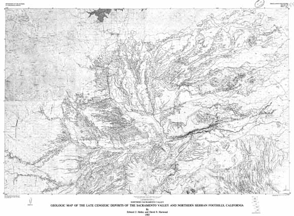
This set of five sheets had been out of print for some years. As a result of a request for an online version, we scanned the library paper copy in strips, 'stitched' them together digitally, and generated this PDF "reprint." The southernmost (sheet 1) of the five map sheets depicts the late Cenozoic geology of the Sacramento Valley. The south-central part of the valley (sheet 2) extends from the confluence of the Sacramento and Feather Rivers northward to include about three-fourths of the Sutter Buttes. It extends in an east-west direction from the Coast Ranges foothills to the Sierran foothills east of Marysville and Yuba City. The central part of the valley (sheet 3) extends north from the northern on-forth of the Sutter Buttes to the latitude of Chico and extends in an east-west direction from the Coast Ranges foothills to the Sierran foothills and Chico monocline. The north-central part of the valley (sheet 40 extends from the Orland Buttes to the south to just north of Red Bluff and the Iron Canyon section of the Sacramento River. The northernmost (sheet 5) of the five maps in this study depict the northern geology of the Sacramento Valley.
Download Plate 1 of this report as a ~57" x 41" PDF (mf1790_plate1.pdf; 20.4 MB)
Download Plate 2 of this report as a ~56" x 41" PDF (mf1790_plate2.pdf; 26.7 MB)
Download Plate 3 of this report as a ~57" x 41" PDF (mf1790_plate3.pdf; 34.8 MB)
Download Plate 4 of this report as a ~57" x 41" PDF (mf1790_plate4.pdf; 39.8 MB)
Download Plate 5 of this report as a ~56" x 41" PDF (mf1790_plate5.pdf; 43.9 MB)
Download the accompanying Pamphlet for this report as a 24-page PDF (mf1790_pamphlet.pdf; 18.9 MB)
For questions about the content of this report, contact Dave Harwood
Suggested citation and version history
Download a current version of Adobe Reader for free
| Help
| PDF help
| Western reports main page | Western Miscellaneous Field Studies maps |
| Geologic
Division | Western Earth Surface Processes
|

![]() U.S. Department of the Interior | U.S. Geological Survey
U.S. Department of the Interior | U.S. Geological Survey
URL: https://pubs.usgs.gov/mf/1985/1790/
Page Contact Information: Michael Diggles
Page Last Modified: October 22, 2007