
U.S. Geological Survey Miscellaneous Field Studies Map MF-2331
Version 1.0
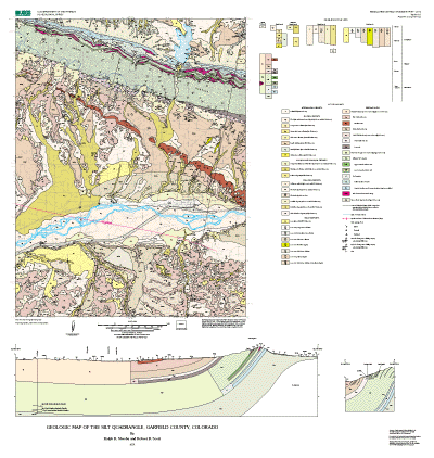
NOTE: This map supersedes Open-File Report 94-0696.
![]()
This map is presented in Portable Document Format.
Adobe Acrobat Reader 4.0™ is required to view it.
If you wish to download Acrobat Reader 4.0 free of charge, click
here.
PDF files for viewing and printing:
Map PDF file (2.8 MB)
Pamphlet PDF file (160 KB)
Metadata files:
Metadata in TEXT format (30 KB)
Metadata in HTML format (39 KB)
Archive files:
GZIPPED TAR archive of ArcInfo files, metadata,
etc. (3 MB)
ZIPPED archive of ArcInfo files, metadata, etc.
(3 MB)
ZIPPED archive of georeferenced image files of
base map (4 MB)
The online edition of this publication consists of a digital database, described in the accompanying metadata, and a PDF file for the map sheet, which may be used to view and print the map. The publication also includes a 31-page pamphlet that contains interpretive text, a full description of map units, and a list of references cited. A high-resolution plot of this map is for sale by Information Services, U.S. Geological Survey (1-888-ASK-USGS).
![]()