
U.S. Geological Survey Miscellaneous Field Studies Map MF-2347
Version 1.0
![]()
This map is presented in Portable Document Format.
Adobe Acrobat Reader 4.0™ is required to view it.
If you wish to download Acrobat Reader 4.0 free of charge, click
here.
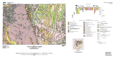
The online edition of this publication consists of a digital database,
described in the accompanying metadata, and a screen-optimized PDF file for the
map sheet, which may be used to preview the map. A print-optimized PDF file
for the map sheet is optimized for printing on a high-resolution plotter. The
publication also includes a 27-page pamphlet that contains interpretive text,
a full description of map units, and a list of references cited. It is a
print-optimized file, which you also may view online. A high-resolution plot
of this map is for sale by Information Services, U.S. Geological Survey
(1-888-ASK-USGS).
Screen-optimized Map PDF file (3.7 MB)
Print-optimized Map PDF file (4.0 MB)
Print-optimized Pamphlet PDF file (559 KB)
Archive files, containing ArcInfo Export files, shapefiles, and AML file;
metadata file; and readme file:
GZIPed TAR file (938 KB)
ZIPed file (938 KB)
Georeferenced TIFF image and .TFW files of base map:
ZIPed file (6.3 MB)
![]()