
U.S. Geological Survey Miscellaneous Field Studies Map MF-2352
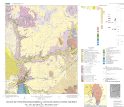
Geologic Map of the Tetilla Peak Quadrangle, Santa Fe and Sandoval Counties, New Mexico
By David A. Sawyer, Ralph R. Shroba, Scott A. Minor, and Ren A. Thompson
Version 1.0
PDF files:
Map PDF file (3 MB)
Text-only Map PDF file (31 KB)
(This version of the report is accessible as defined in Section 508.)
Pamphlet PDF file (1.6 MB)
(This version of the report is accessible as defined in Section 508.)
Download archive files:
GZIPPED TARRED archive of ArcInfo, metadata, etc. (1.4
MB)
ZIPPED archive of ArcInfo, metadata, etc. (1.4 MB)
GZIPPED TARRED archive of base map (2.3 MB)
ZIPPED archive of base map (2.3 MB)
| AccessibilityFOIAPrivacyPolicies and Notices | |
| |
|