By William H. Langer, David Smith, Lawrence L. Brady, Roger A. Melick and Daniel H. Knepper, Jr.
Version 1.0
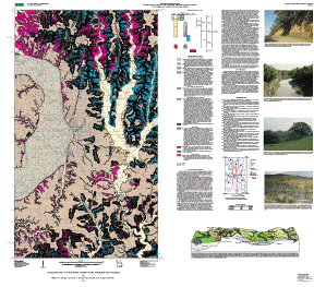
Map PDF file for viewing and printing (not section
508 accessible; 46.25 MB)
Section 508 accessible Map PDF file (text only; 72 KB)
Metadata file:
Metadata in TEXT format (Section 508 accessible;
10 KB)
Archived GIS files (not Section 508 accessible):
GZIPPED TAR archive of ArcInfo files, metadata,
etc. (3.87 MB)
ZIPPED archive of ArcInfo files, metadata,
etc. (3.87 MB)
GZIPPED TAR archive of topgraphic base map (7.95 MB)
ZIPPED archive of topographic base map (7.95 MB)
A high-resolution plot of this map can be purchased from Information Services, U.S. Geological Survey (1-888-ASK-USGS).
| AccessibilityFOIAPrivacyPolicies and Notices | |
| |
|