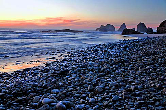
 The Oregon coast is made of a mixture of volcanic and sedimentary rocks. This beach at Oceanside in Tillamook County is composed of basalt and siltstone cobbles weathered from the adjacent headlands or carried down from the interior of the Coast Ranges by streams. The sea stacks offshore are remnants of a former elevated beach terrace now being eroded away. Photograph by Gary Halvorson, Oregon State Archives.
The Tillamook map area crosses a broad, northeast-plunging structural arch in Tertiary volcanic and sedimentary strata that form the northern Oregon Coast Range. The core of the uplift consists of Eocene basalt and interbedded marine strata that were previously correlated with the Siletz River Volcanics of the central Oregon Coast Range. In this study, the Eocene volcanics have been divided into five units, and a distinction is made between the lower Eocene Siletz River Volcanics and the overlying Tillamook Volcanics of late middle Eocene age. Marine mudstone and sandstone are interbedded with all of the volcanic units and comprise most of the late Eocene to Miocene stratigraphic section that forms the flanks of the Coast Range uplift. Continental shelf and slope sequences predominate in the basins flanking the Coast Range uplift.
Files available for download:
Note: The datasets were compiled in ARC/INFO version 6.1.1 and are available in ARC export format. Please be sure to read the Digital Database README to choose the correct datasets and check file sizes.
Download the text (Digital Database description) portion of Open-File
Report 95-670:
As a Postscript format file:tildb.ps.Z
(60 kb compressed download file, 0.100 kb when uncompressed).
As an ASCII format file (No figures are included in this format): tildb.txt (20 kb).
Download the text portion (map description) of Open-File Report 95-670:
As a Postscript format file:tilgeo.ps.Z
(292 kb compressed download file, 600 kb when uncompressed)
As a PDF format file: tilgeo_ps.pdf (680 kb).
As an ASCII format file (No figures are included in this format): tilgeo.txt (600 kb).
Click on any quadrangle below to access selected jpeg images, pdf images of the north and south half of the geologic map, and ARC/INFO files of individual quadrangles. Download the entire map data base (all 6 quads) all6exp.tar.Z (27.1 MB com pressed download file, 148.9 MB when uncompressed).
Individual quadrangle dataset file sizes are as follows:
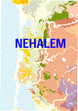
NEHALEM (3.9 MB compressed download file, 21.5 MB when uncompressed).
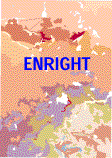
ENRIGHT (6.7 MB compressed download file, 36.6 MB when uncompressed).
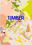
TIMBER (4.5 MB compressed download file, 25.2 MB when uncompressed).
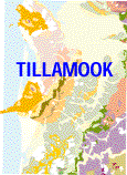
TILLAMOOK (3.5 MB compressed download file, 19.1 MB when uncompressed).
BLAINE (5.0 MB compressed download file, 27.1 MB when uncompressed).
FAIRDALE (3.5 MB compressed download file, 19.3 MB when uncompressed).
Download custom symbol sets and look-up tables used to produce the original Open-File version of the map (does not include any symbol sets available in ARC/INFO) symbolexp.tar.Z (0.05 MB compressed download file, 0.3 MB when uncompressed).
Download the geologic map derived from this database in PostScript format: Open-File Report 94-21
View Digital Database README file.
For questions about the scientific content of this report, contact Ray Wells
Download a free copy of Adobe Reader
USGS Information Services
Box 25286 Federal Center
Denver, CO 80225
Telephone: 1-888-ASK-USGS
E-mail: [email protected]
| Help
| PDF help |
| Publications main page
| Western Open-File reports for 1995 |
| Department of the Interior
| U.S. Geological Survey |
| Geologic Division
| Western Earth Surface Processes Team
|
| Privacy Statement
| Disclaimer
| Accessibility |
The URL for this page is: https://pubs.usgs.gov/of/1995/of95-670/
Please send comments and suggestions, or report problems, to:
Michael Diggles
Updated: May 3, 2007 (bwr)