Map Showing Outcrop of the Coal-bearing Units and Land Use in the Gulf Coast Region
Peter D. Warwick, John R. SanFilipo, Sharon S.
Crowley, Roger E. Thomas, and John Freid
Digital Compliation by John K. Tully
1997
United States Geological Survey Open File Report 97-172
This map is preliminary and has not been reviewed for
conformity with U.S. Geological Survey editorial standards (or with the North American
Stratigraphic Code).
Any use of trade, product, or firm name is for descriptive purposes only and does not
imply endorsement by the U.S. Government. Also, this map may not meet National Map
Accuracy Standards.
[ Introduction | References | Stratigraphy ]
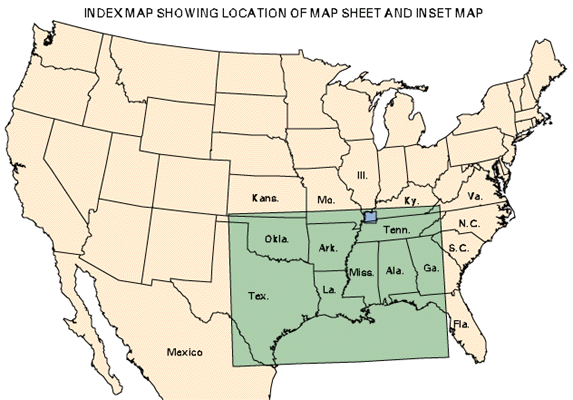
[ Map | Map Legend | Inset Map | Unit Descriptions ]
![]()
PDF Version [2.6 MB]
Map Data (metadata, EPS, Arc Export, and graphic files)
This map is a preliminary compilation of the outcrop geology of the known coal-bearing units in the Gulf Coast Coal region. The map has been compiled for use in the National Coal Resource Assessment Project currently being conducted by the U.S. Geological Survey, and will be updated as the assessment progresses. The purpose of the map is to show the distribution of coal-bearing rocks in the Gulf Coastal Plain Region and to show stratigraphic correlations, transportation network, fossil-fuel burning power plants, and federally managed lands in the region. It is hoped that this map may aid coal exploration and development in the region. Geologic contacts were digitized from paper copies of the maps listed in the reference section below. The primary source of information was the 1:500,000-scale state geology map series, but larger scale maps were use to better define certain areas, notably the Jackson-Claiborne contact in western Kentucky and Tennessee for example (Olive, 1980). Contacts along state boundaries were modified to best-fit information available from the border areas. Note that coal distribution in the mapped units is not uniform. For example, the Jackson Group contains coal in Texas, but in Mississippi is not presently known to contain significant coal deposits. The unit is widespread and in part non-marine and thus of potential future interest. In contrast, the Jackson Group is not shown in Georgia where it is mostly marine and residuum (weathered material) at the surface. Tertiary age coal has also been noted in the Vicksburg Group (Oligocene) of Louisiana and Mississippi, but is not shown on this map. Contacts with mapped surficial units are not always shown. The locations of coal mine permit boundaries are based on information available at the time of publication and were obtained from the Division of Surface Mining and Reclamation, Railroad Commission of Texas, Austin, and the Injection and Mining Division, Department of Natural Resources, Baton Rouge, Louisiana. The correlation of map units and formation names generally follow Galloway and others (1991). We have placed the Paleocene-Eocene boundary in the middle of the Calvert Bluff Formation in Texas based on unpublished pollen biostratigraphy reports (N.O. Fredericksen, unpublished data, 1993; D.J. Nichols, unpublished data, 1996).
Acknowledgements
We gratefully acknowledge the following organizations who provided data and/or helpful reviews of this map.
Created by the EERT WWW Staff.
[an error occurred while processing this directive]