
![]()
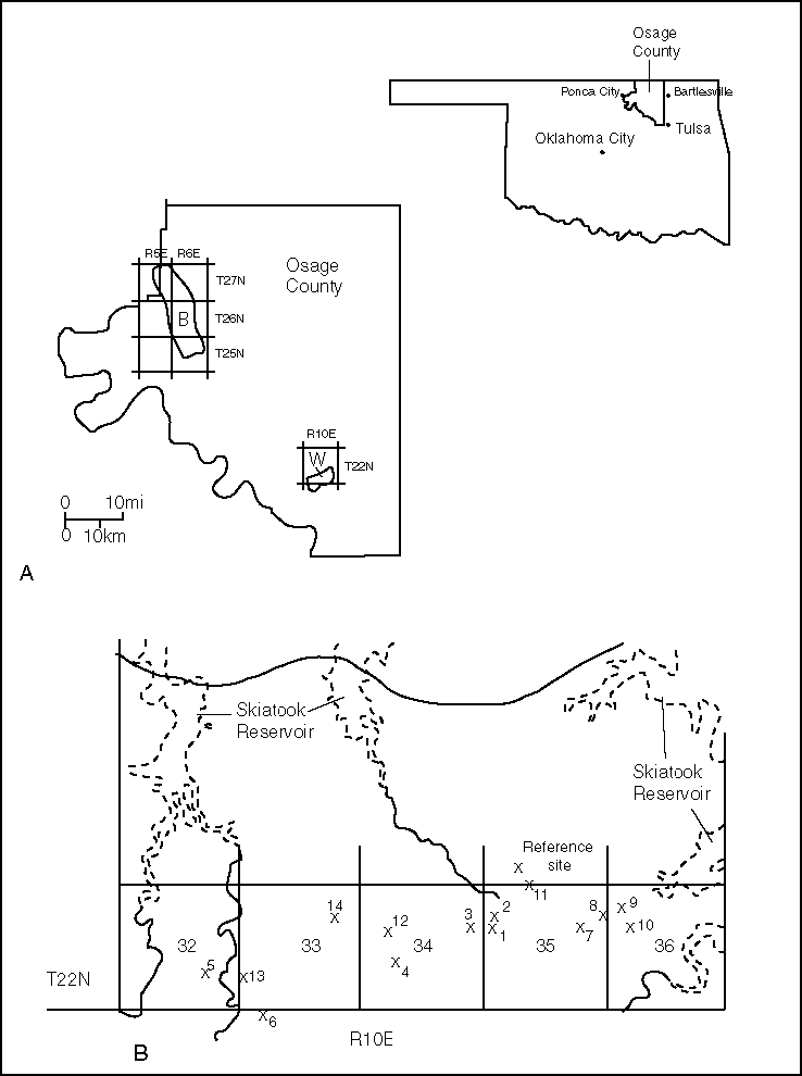
Figure 1. A--Map showing the location of the Wildhorse (W) and Burbank (B) fields in respect to the township and range grid system, Osage County, northeastern Oklahoma. B--Map showing the location of sample sites and other featrues in the Wildhorse area, Osage County, Oklahoma.
 |
 |
http://greenwood.cr.usgs.gov/energy/E&E/OF97-28/Fig1.html Maintained by C. Adkisson----last updated October 14, 1997 | |