![]()
Maps available for downloading:
|
File name |
Zipped size (mb) |
Unzipped size (mb) |
projection |
cell size |
shading |
scale |
|
36 |
146 |
Albers meters |
300m |
multi-dir |
500k |
|
|
35 |
146 |
Albers meters |
300m |
single-dir |
500k |
|
|
20 |
82 |
Albers meters |
400m |
single-dir |
600k |
|
|
15 |
60 |
Albers meters |
468m |
multi-dir |
750k |
|
|
51 |
182 |
decimal degrees |
10" 200-280m |
multi-dir |
500k |
|
|
26 |
80 |
decimal degrees |
15" 300-420m |
multi-dir |
750k |
|
|
4 |
44 |
decimal degrees |
15" 300-420m |
single-dir |
750k |
Other files available for downloading:
|
comparison of coloring techniques |
|
|
projection parameter file for US Albers meters |
|
|
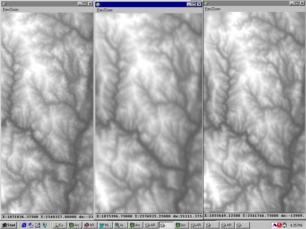
shows effects of 3 resampling techniques |
|
|
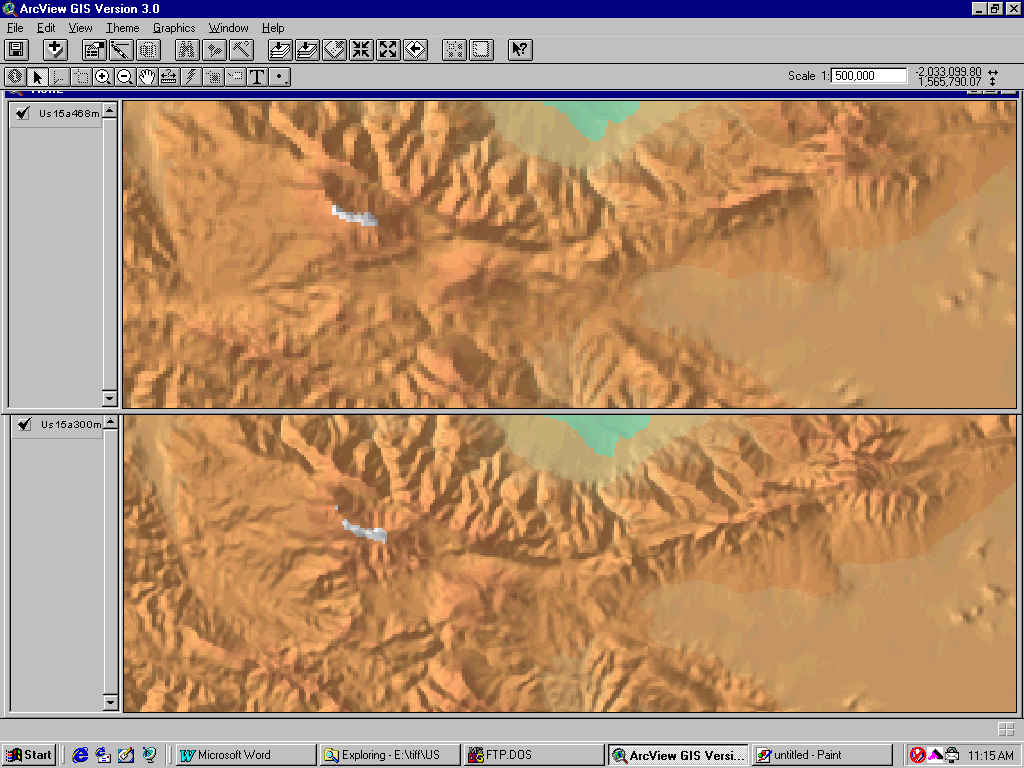
shows same source map at different resolutions |
|
|
remap file for 10 elevation classes |
|
|
rgb color map for 10 elevation classes |
|
|
58mb DEM source data converted to GRID-compatible ASCII |
|
|
50.5mb ESRI GRID format, clipped at US border. Expands to 75mb. |
Return to
This page is https://pubs.usgs.gov/openfile/of99-011/online.html
Contact:
Maintained by
Eastern Publications Group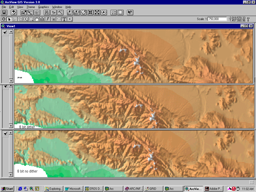