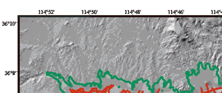
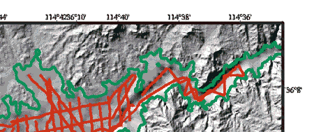
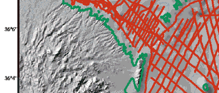
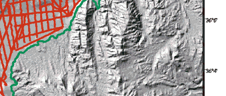
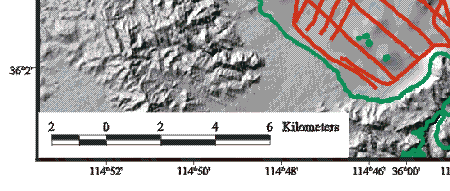
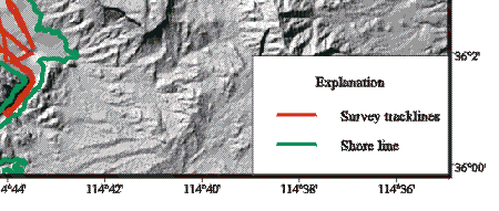
Figure 3. Tracklines in the Boulder Basin and Las Vegas Bay parts of Lake Mead along which sidescan sonar, subbottom seismic-reflection profiles, bathymetry, and navigation were collected. All four types of data were continuously collected along all of these lines.
|
|
|
|
|
|