
Consult the readme.txt file for a complete
description of the report, including instructions for downloading and importing
the files.
View the text pamphlet of the report in Adobe Acrobat Portable Document Format: of998pam.pdf (397 Kb). Go to Adobe Acrobat to download the free Acrobat Reader software if you you don't already have it. The PDF file is 18 pages on 8.5" x 11" paper and prints best on a 600 dpi laser printer.
UNIX Download the compressed data files
in unprojected geographic coordinates with units in decimal degrees of998.tar.gz
(1.3 Mb)
PC Download the compressed data files
in unprojected geographic coordinates with units in decimal degrees of998.zip
(1.4 Mb)
UNIX Download the compressed data files
in New Hampshire Stateplane coordinates with units in feet: of998198.tar.gz
(1.5 Mb)
PC Download the compressed data files
in New Hampshire Stateplane coordinates with units in feet: of998198.zip
(1.6 Mb)
The paper map was designed and tested on Hewlett Packard DesignJet 650,
750, and 2500 series printers. Select this option if you have access to
a large format printer capable of plotting PostScript files. This
file has been successfully printed from Arc/Info, Adobe Illustrator, and
from the MS-DOS prompt using the "print" command.
UNIX Download the compressed file for
printing the paper map (34" tall x 66" wide) in PostScript format. of998.ps.gz
(4.2 Mb compressed and 20.8 Mb uncompressed).
PC Download the compressed file for printing
the paper map (34" tall x 66" wide) in PostScript format. of998ps.zip
(4.3 Mb compressed and 20.8 Mb uncompressed).
UNIX Download the compressed Arc/Info graphics
file: of998.gra.gz (1.8 Mb compressed and 6.0
Mb uncompressed). This file will only plot in Arc/Info.
PC Download the compressed Arc/Info graphics
file: of998gra.zip (1.8 Mb compressed and 6.0
Mb uncompressed). This file will only plot in Arc/Info.
Order a paper copy of the map from the USGS Maps on Demand facility.
View the metadata files for the Arc/Info coverages.
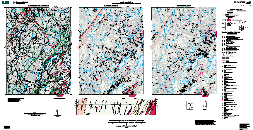
View parts of the map in Adobe Acrobat Portable Document Format. These
parts are sub-sets of the full paper map, and can be used for on-screen
viewing.
Bedrock Regional Aquifer Systematics Study (BRASS) Project Home Page
![]() USGS
Home Page
USGS
Home Page ![]() USGS Geologic Information
USGS Geologic Information ![]() USGS Help Page
USGS Help Page
Maintained by: Gregory J. Walsh, [email protected]
For additional information contact:
Gregory J. Walsh
U.S. Geological Survey
P.O. Box 628
Montpelier, VT 05601
Last modified: 22 May 2000