U. S. DEPARTMENT OF THE INTERIOR
U.S. GEOLOGICAL SURVEY
|
by Michele L. W. Tuttle¹, Ronald R. Charpentier¹, and Michael E. Brownfield¹
Open-File Report 99-50-H
This report is preliminary and has not been reviewed for conformity with U.S. Geological Survey editorial standards or with the North American Stratigraphic Code. Any use of trade, firm, or product names is for descriptive purposes only and does not imply endorsement by the U.S. Government. 1999
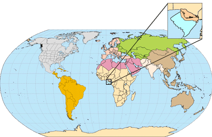
The entire Open-File Report 99-50-H can be successfully viewed or downloaded (2.9MB), for use with Adobe Acrobat Reader (version 3.0 or later). If you do not already have Acrobat Reader version 3.0 or later, you may download the latest version here. Chapter A by Michele L. W. Tuttle, Michael E. Brownfield, and Ronald R. Charpentier (No. 719201), Niger Delta Province, Nigeria, Cameroon, and Equatorial Guinea, Africa by Michele L. W. Tuttle, Ronald R. Charpentier, and Michael E. Brownfield Chapters A and B are issued as a single volume and are not available separately. FOREWORD, by the U.S. Geological Survey World Energy Project TABLE OF CONTENTS
Chapter A
FIGURES in Chapter
A
Figure 2 Cross plots for cumulative number of oil and gas fields versus cumulative number of total new-field wildcat wells in the Niger Delta Province Figure 3 Part1, Part2. Paleogeographic maps showing the opening of the South Atlantic and development of the region around Niger Delta Figure 4. Schematic of a seismic section from the Niger Delta continental slope/rise showing the results of internal gravity tectonics on sediments at the distal portion of the depobelt Figure 5 Stratigraphic section of the Anambra Basin from the Late Cretaceous through the Eocene Figure 6, part1, part2. Location map cross sections through the Niger Delta Region Figure 7 Stratigraphic column showing the three formations of the Niger Delta Figure 8 Structural map of the top of Akata Formation and thickness isopach of Agbada Formation Figure 9. Cartoon showing how the coastline of the Niger delta has prograded since 35 Ma Figure 10. Schematic showing the location of lobes of the early Niger Delta, prolific oil centers, and shale prone areas Figure 11. Sequence stratigraphic model for the central portion of the Niger Delta Figure 12. Distribution of size and mean reservoir depth of Niger Delta oil and gas fields Figure 13. Geochemical data for nonbiodegraded oil (A) and a partially biodegraded oil (B) from the Niger Delta Figure 14. Physiographic sketch of the deep marine sediments in the Gulf of Guinea off the Niger Delta Figure 15. Slope-Edge normal fault simulation, Nigerian example Figure 16. Examples of Niger Delta oil field structures and associated trap types Figure 17. Subsurface depth to top of Niger Delta oil Figure 18. Burial history chart for the northern portion of the Niger Delta (Akata-Agbada) petroleum system Figure 19. Events chart for Niger Delta (Akata/Agbada) petroleum system
Chapter B
FIGURES in Chapter
B
Figure 2. Cross plots for cumulative number of (A) oil fields and (B) gas fields versus cumulative number of total new-field wildcat wells in the Niger Delta Province Figure 3. Crossplots for cumulative volume of discovered (A) oil fields (MMB0) and (B) gas fields (BCFG) versus cumulative number of new-field wildcat wells in the Niger Delta Province Figure 4. Histogram showing the grown oil field size divided into first third, second third, and third third of the oil fields discovered in the Niger Delta Figure 5. Histogram showing the grown gas field size divided into first third, second third, and third third of the gas fields discovered in the Niger Delta APPENDICES
Appendix B.
Summary of the results from the Monte Carlo simulations
[Return
to Previous Page] [ U. S. Geological Survey Open File Report
99-50H
|