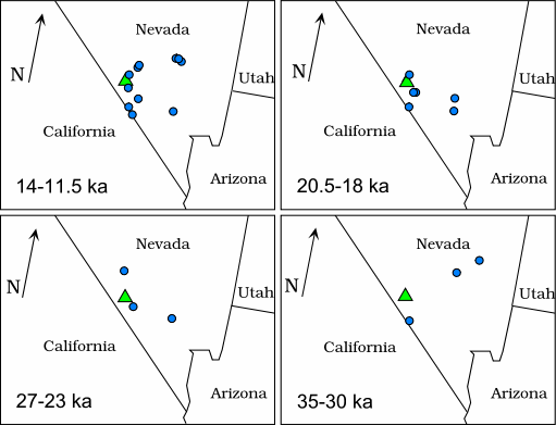
Figure 1. Locations of packrat middens (blue circles) used in this study by time period. The location of Yucca Mountain is shown as a green triangle on each map.
U.S. Department of the Interior | U.S. Geological Survey URL: https://pubsdata.usgs.gov/pubs/of/1999/ofr-99-0338/fig1.html Questions or Assistance: USGS Web Contact Page Last Modified: Wed Dec 7 17:00 EDT 2016