
This CD-ROM contains archives of the GLORIA sidescan sonar mosaic
and it's geologic interpretation. The data on this disk are stored
either in raster or vector forms. Raster data are stored in geotiff
format to ease importing of the raster imagery into various GIS software
and/or image analysis software. The vector data consist of line information
(bathymetry contour lines), point data (Gulf of Mexico features names),
and polygon coverages of the geologic interpretion. These data layers
are stored in ESRI's ArcView shapefile format.
| Filename | Description | Additional Information | ||||
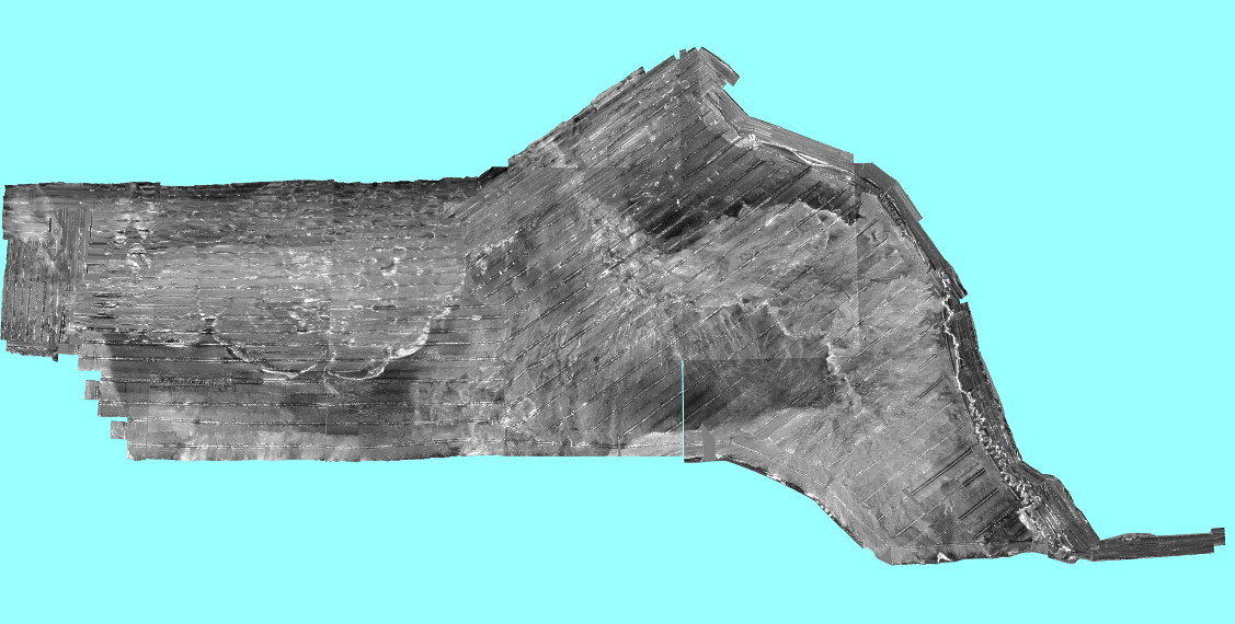
| glo250m.tif | GLORIA sidescan sonar mosaic in Albers Equal Area projection with an Ice Blue colored background. This image is used in the ArcView project view. |
|
||||
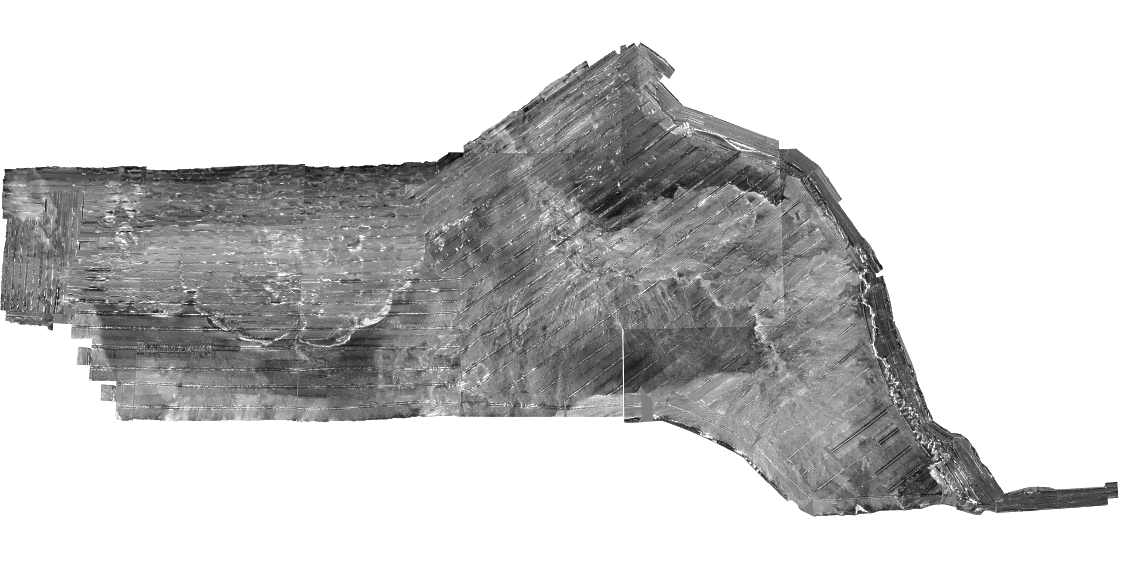
| compos.tif | GLORIA sidescan sonar mosaic in Albers Equal Area projection with a white background. This image is the same as the above image, but more pratical for some displays. |
|
||||
| Directory: data/imagery/aea | ||||||
| Filename | Description | Additional Information | ||||
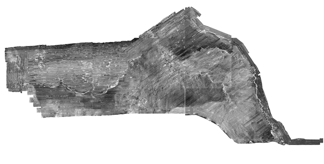
| latlon.tif | GLORIA sidescan sonar mosaic unprojected with a white background. This image is used in the ArcExplorer view. |
|
||||
| Directory: data/imagery/latlon | ||||||
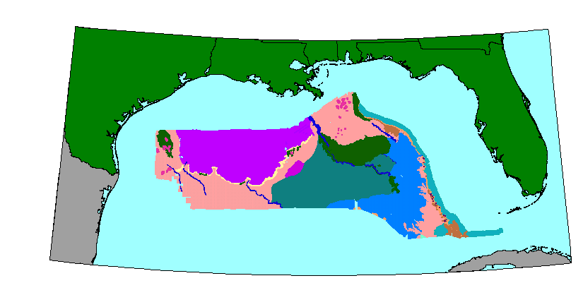
The following table contains a list of the available data coverages and a brief description of the layer. The data coverages are available as ArcView shapefiles. If you wish to copy the ArcView shape files to disk, please note that you must copy all the listed files to the same directory. A zip file containing all the shapefile components is also available.
| Layer Name - Description | ArcView Shapefiles | ||||
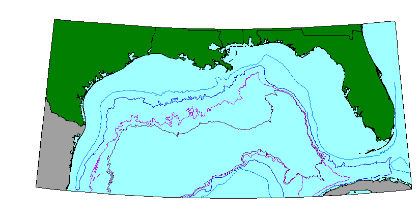
geology
- Gulf of Mexico GLORIA
sidescan sonar geology interpretation.
metadataDirectory: data/geology |
|
||||
bathyc
- 200, 1000, 2000 and 300m bathymetric contour lines for the Gulf of Mexico.
metadataDirectory: data/misc |
|
||||
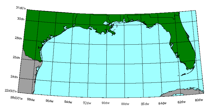
gratic
- 2 degree graticule used for project views
metadataDirectory: data/coast |
|
||||
gomnames
- Gulf of Mexico features names
metadataDirectory: data/misc |
|
||||
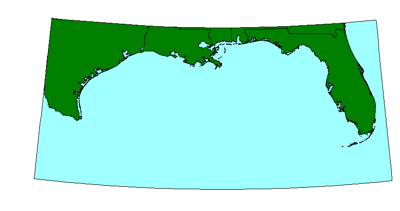
USA
- land mass showing the US coastal states around the Gulf of Mexico project
area.
metadataDirectory: data/coast |
|
||||
sabody
- Land mass showing Mexico and Cuba for the Gulf of Mexico project area.
metadataDirectory: data/coast |
|
||||
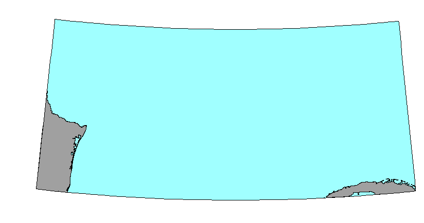
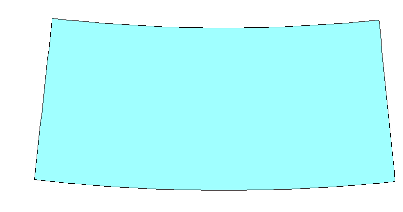
bckgrnd
- Cyan colored background showing the extent of the Gulf of Mexico project
view area. This coverage is used as the backdrop for the views.
metadataDirectory: data/misc |
|