Woods Hole Field Center Home Page Coastal and Marine Geology Program Home Page U.S. Geological Survey with link to U.S.G.S. Home Page
USGS Banner


National Assessment of Coastal Vulnerability to Sea-Level Rise: Preliminary Results for the U.S. Pacific Coast


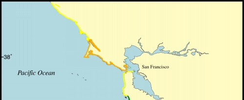
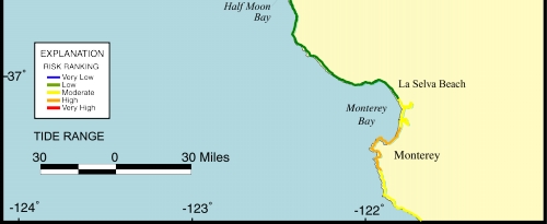
Figure 9.   Map of the tide range variable for the San Francisco - Monterey region. The tide range is generally lower than 1.28 m (high to very high risk), except for the area between Half Moon Bay and La Selva Beach where the tide range increases to ~1.5 m.

Click on map to zoom in

Figure 9. Map of the Coastal Vulnerability Index for the San Francisco - Monterey region


 Contents  Back to Top  Title Page

 Introduction  Risk
Variables
 Data
Ranking
 C.V.I.  Results  Discussion  Summary  References

[an error occurred while processing this directive]