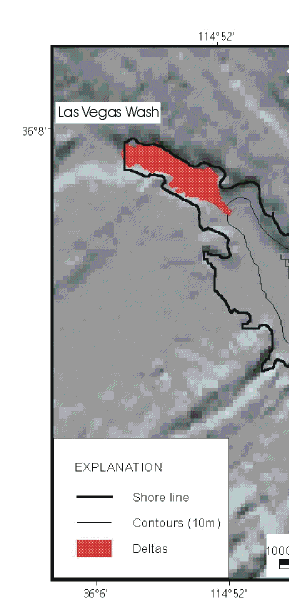
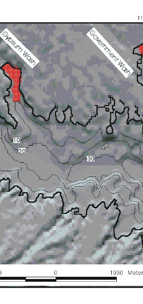
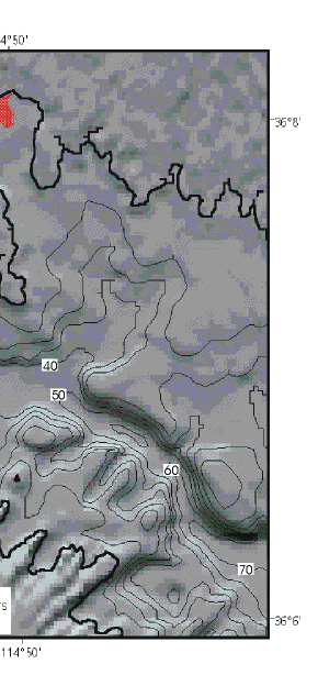
Figure 7. Shaded-relief with 10-m contours generated from a digital elevation model (USGS, 1999) based on preimpoundment topography. Contours are relative to lake level in June, 2000 which was 268 m. The original stream beds, the steep walls to these valleys, and the rough terrain along the flanks of Las Vegas Bay are all shown in this image. The deltas at the mouths of Las Vegas, Gypsum, and Government Washes are morphologic features that have formed since impoundment.
|
|
|