
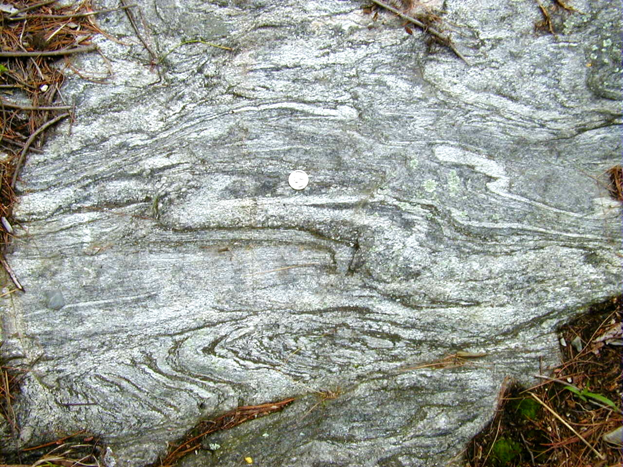

| The Rockland Avenue public water supply well site is located near downtown Maynard, Massachusetts. New geologic mapping was conducted in the vicinity of the well site to characterize the bedrock geology. The characterization of the bedrock geology is part of an ongoing study on delineating contributing areas to public-supply wells and hydrologic responses to pumping in fractured-bedrock aquifers. The purpose of this study is to describe the characteristics of the bedrock that may influence groundwater flow and to identify potential directions of anisotropy in the fractured bedrock. |
This report
is a BRASS product.
Bedrock
Regional Aquifer Systematics Study (BRASS) Project Home Page
Related USGS
links:
USGS
Massachusetts / Rhode Island District
Delineation
of Contributing Areas to Public Supply Wells in Aquifers with Complex Hydrogeologic
Conditions
This report
is only available on the web.