Coastal & Marine Geology Program
>
Center for Coastal & Regional Marine Studies
> Environmental Atlas of Lake Pontchartrain
«
Return to Previous Page
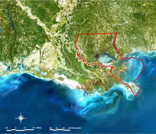
Figure 1:
M-SAT composition image of northern Gulf of Mexico (1998). Image courtesy of M-SAT.
«
Return to Previous Page
Coastal & Marine Geology Program
>
Center for Coastal & Regional Marine Studies
> Environmental Atlas of Lake Pontchartrain
email
Feedback
[an error occurred while processing this directive]