
Coastal Vulnerability Assessment of Cape Cod National Seashore to Sea-Level Rise, USGS Open-File Report 02-233
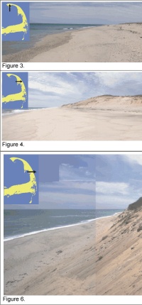
Figure 3: Race Point Beach is part of the Provincetown spit complex, but the extensive dunes and large sediment supply make this area a moderate geomorphologic vulnerability (panoramically distorted).
Figure 4: Cahoon Hollow has a high glacial cliff behind the beach --low vulnerability (panoramically distorted).
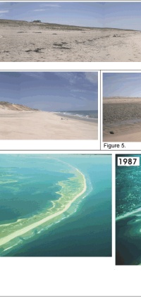
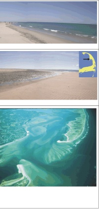
Figure 5: Great Island in Truro is a low barrier spit (very high vulnerability).
Figure 6: Oblique view of glacial bluff at Cahoon Hollow Beach (low vulnerability).
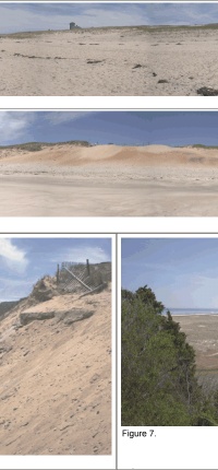
Figure 7: View of Coast Guard Beach (very high vulnerability) from a glacial bluff (moderate vulnerability).Location on CACO where southern barrier spit transitions to glacial bluff.
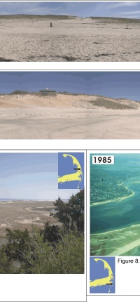
Figure 8: Before and after photo of the breach of Nauset Spit, very high vulnerability barrier shoreline. The new inlet that formed was just less than 2 km wide at time of photograph (photos by Duncan FitzGerald).
 |
 |
 |
 |
 |
