Geophysical Surveys of Bear Lake, Utah-Idaho, September, 2002,
OFR
03-150
OF 03-150
Home
CD-ROM
Contents
Project
Description
Introduction
Methods
Data
Seismic Profiles
Sidescan-Sonar Mosaic
Bathymetric Image
Navigation
Grab Samples
Sound Velociy Profiles
Acknowledgements
Figure Captions
GIS
Data
Contacts
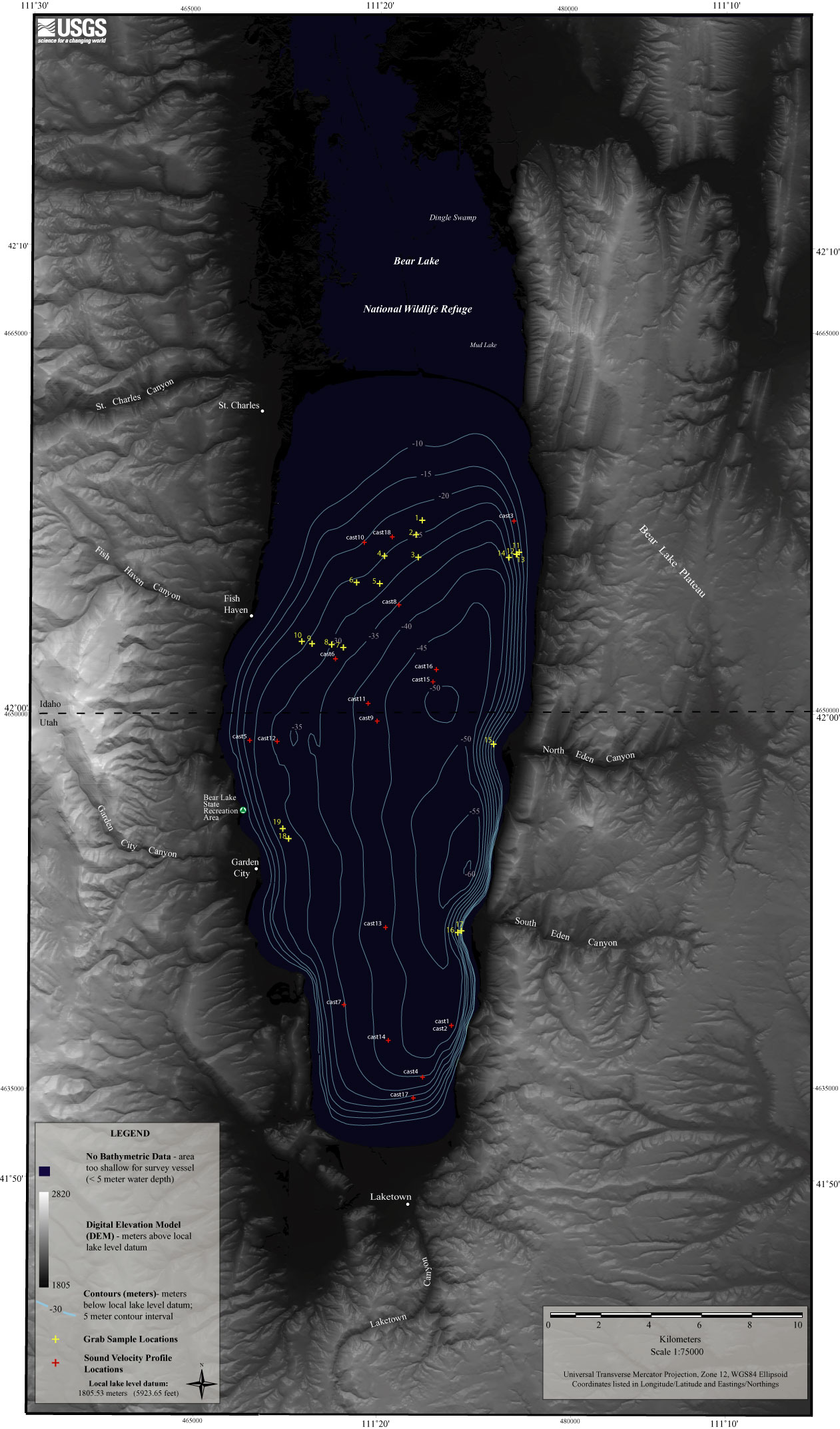
Figure 4.
Map showing location of grab samples and sound velocity profiles.
Back to Grab Samples
Title Page
/
Contents
/
Project Description
/
GIS
Data
/
Contacts
[an error occurred while processing this directive]