|
|
|
|
|
| Report Home | Maps | Overview | Mapping Methods | Coastal Classifications | Geologic Setting | Coastal Processes | Coastal Vulnerability | Classification Summary | References | |||||||||||||||||||||||||||||||
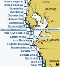
| Introduction || City: Tarpon Springs | Dunedin | Clearwater | Seminole | Pass-A-Grille Beach | Egmont Key | Anna Maria | Bradenton Beach | Sarasota | Bird Keys | Laurel | Venice | ||||||||||||||||||||||||||||||||||||||||
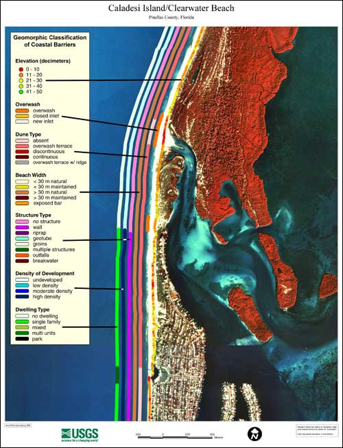
Coastal Classification Map IntroductionEach map shows an area with the coastal classifications marked as color bars along the shoreline. Below is an example map from Caladesi Island/Clearwater Beach. To find out more about how the classification system works, see the Coastal Classifications section. At the right side of the page is a clickable index map that will take you to the other maps.
|