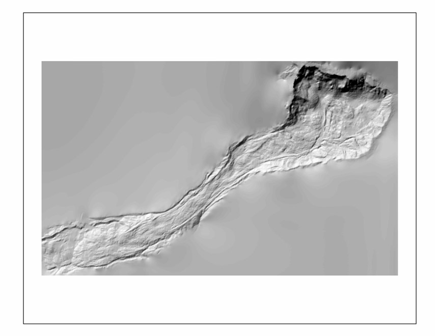
This Open-File Report presents a topographic map of the active
part of the Slumgullion landslide on July 31, 2000. The active part of
the landslide is continuously moving, therefore the topography of the
landslide is continuously changing. The map was made using 1:6000-scale
color, stereo aerial photographs, surveyed ground-control points, and
a Kern DSR-11 analytical stereo plotter. The contour interval is 2 meters.
The map provides a base for on-going and future scientific studies of
the landslide.
The map itself shows spot elevations and control point elevations in
meters, index and intermediate contours Ł dashed where approximately located,
contour depressions, water features and roads on four separate sheets.
Aerial photos were flown on July 31, 2000. Map compiled through photogrammetric
means by the USGS Laboratory for Geologic Photogrammetry and Digital
Mapping, Denver Federal Center, by James A. Messerich. GIS assistance
by Paco VanSistine. Photos nominal scale 1:6,000. Colorado State Plane
Coordinate System (southern zone), elevations above mean sea level
North American Vertical Datum 1988. |