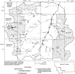
The purpose of this report is to present data from a comprehensive study of the hydrogeology, surface- and ground-water quality, and geochemistry of surficial geologic materials from the Frohner Meadows area. This report presents hydrogeologic, water-quality, and geochemical data for the Frohner Meadow.
Version 1.0
|
| Posted August 2003 |
|
Part or all of this report is presented in Excel and Portable Document Format. The latest
version of Adobe Acrobat Reader or similar software is required
to view it. If you wish to download the latest version of Acrobat
Reader free of charge, click here.
|
|

