|
|
|
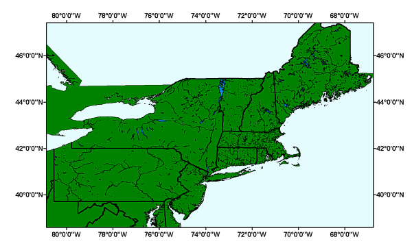
MJWATER: Major Water of the Long Island Sound GIS project area |
Metadata also available as: FAQ | TEXT
Largest scale when displaying the data: 1:100,000.
The redistribution rights for this data set: Redistribution rights are granted by the data vendor for hard-copy renditions or static, electronic map images (e.g. .gif, .jpeg, etc.) that are plotted, printed, or publicly displayed with proper metadata and source/copyright attribution to the respective data vendor(s). Geodata is redistributable with a Value-Added Software Application developed by ESRI Business Partners on a royalty-free basis with proper metadata and source/copyright attribution to the respective data vendor(s).
Outside the United States: Please direct all inquiries regarding software/data pricing, sales, support, and consulting services to your local ESRI International Distributor. This information can be found at <http://gis.esri.com/intldist/contactint.cfm>.
For other questions or comments, you may contact ESRI headquarters by e-mail, telephone, or fax or write to us.
The positional accuracy of the TIGER/Line coordinates varies with the source materials used but at best meets the established National Map Accuracy standards (+/- 167 feet approximately) where 1:100,000-scale maps from the USGS are the source. The Census Bureau cannot specify the accuracy of feature updates added by its field staff or of features derived from the GBF/DIME-Files or other map sources. Thus, the level of positional accuracy in the TIGER/Line files is not suitable for high-precision measurement applications such as engineering problems, property transfers, or other uses that might require highly accurate measurements of the earth's surface.
Outside the United States, please direct all inquiries to your local ESRI International Distributor. This information can be found at <http://gis.esri.com/intldist/contactint.cfm>.